Long before airlines printed route maps and before guidebooks ranked hotels, someone wrote a travel manual for crossing the western Indian Ocean.
It was not a grand adventure story in the style of Marco Polo, nor a royal chronicle celebrating a famous expedition. The Periplus of the Erythraean Sea was more practical than that. Its anonymous author described harbors, anchorages, sailing conditions, marketplaces, rulers, merchandise, and the distances between ports.
Composed in Greek during the first century CE, probably by a merchant or shipmaster familiar with the commercial world of Roman Egypt, the text traced a maritime route from the Red Sea around Arabia and onward to the coast of East Africa and India. The result was one of the ancient world’s most vivid surviving records of long-distance travel—and an early example of writing designed to help strangers move through a connected world.
A Sea With a Larger Meaning
The title can be misleading to modern readers. In ancient geography, the “Erythraean Sea” did not refer only to what is now called the Red Sea. The term could encompass the Red Sea, the Gulf of Aden, and the waters stretching toward the Indian Ocean.
That wider meaning reflects the book’s subject. The author was not describing an isolated coastline. He was following a working network that joined Egyptian ports to Arabia, the Horn of Africa, the western coast of India, and regions farther east.
The journey began in the commercial world of Roman-controlled Egypt, where goods arrived from the Mediterranean and moved south through the Red Sea. From there, ships could reach ports on both sides of the water. The text names places in present-day Egypt, Sudan, Eritrea, Djibouti, Yemen, Somalia, Oman, Pakistan, and India, though some ancient place names remain difficult to identify with certainty.
Its geography is therefore both precise and provisional. The author knew the coast as a sailor knows it: by landmarks, distances, safe anchorages, water supplies, local markets, and hazards. He was less interested in drawing the entire world than in answering a traveler’s immediate questions.
A Guide Written for People Who Had to Go
The Periplus belongs to a tradition of practical sailing descriptions known as periploi, or circumnavigation accounts. These works were not travel books in the modern literary sense. They did not focus on the author’s personality, private reflections, or picturesque impressions. Their central concern was movement.
At one point, the text may tell a sailor how long a voyage might take. Elsewhere, it identifies a harbor, describes the goods available there, or notes the political authority controlling a stretch of coast. A reader could learn where to find spices, ivory, textiles, pearls, metals, aromatics, or agricultural products. The book also distinguished between places that were major commercial centers and those that were little more than stopping points.
That combination of geography and commerce gives the work its unusual power. The coast is not presented as scenery. It is a chain of human relationships. Every port has people who sell, tax, negotiate, guide, protect, or sometimes threaten the traveler.
The author’s descriptions also reveal how dependent long-distance trade was on local knowledge. Ships could not simply arrive, unload, and depart without understanding regional customs and political conditions. A merchant needed to know not only where a harbor was, but who controlled it and what kind of exchange could take place there.
The Monsoon Made the Ocean Reachable
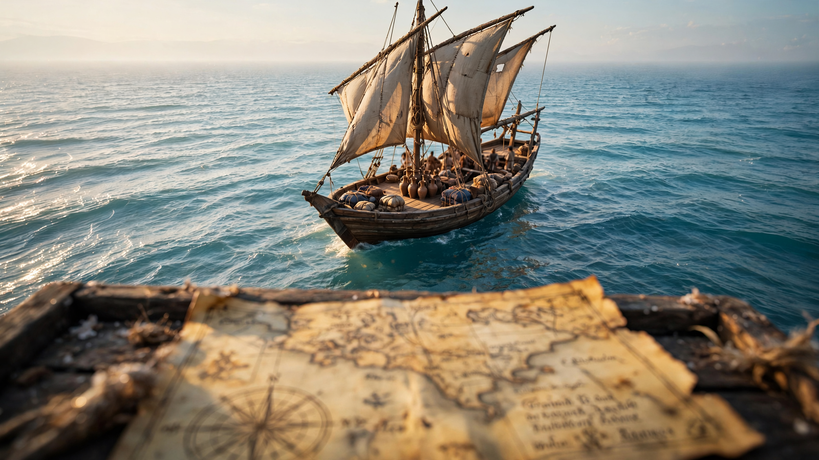
One of the most important realities behind the Periplus was the seasonal rhythm of the Indian Ocean. Winds did not blow randomly. Their changing direction created sailing opportunities that connected Arabia and East Africa with India on a predictable, if demanding, schedule.
The voyage was still dangerous. A ship faced storms, reefs, unfamiliar coastlines, shortages of water, and the possibility of being delayed for weeks. Yet seasonal winds made direct crossings possible in ways that would have been far more difficult through constant coastal navigation.
The text is valuable because it records this ocean not as an empty barrier but as a navigable system. Its routes depended on timing, experience, and inherited knowledge. A captain who understood the winds could turn an enormous body of water into a route between commercial worlds.
That insight also changes how ancient history is imagined. Egypt, Arabia, East Africa, and India were not sealed into separate regional stories. They were connected by sailors who carried cargoes, languages, religious ideas, technologies, and news across the sea.
What the Cargoes Reveal
The goods listed in the work help explain why merchants accepted the risks of the journey. From Africa and Arabia came products such as ivory, tortoiseshell, aromatics, and valuable woods. Indian ports were associated with pepper, textiles, gemstones, and other luxury goods. The exact identification of some products and places remains debated, but the larger picture is clear: the ocean carried commodities that could command high prices far from their places of origin.
Trade was not one-way. Goods from the Mediterranean and Red Sea world moved south and east as well. Coins, wine, metals, manufactured items, and other products could enter markets along the route. Commerce depended on exchange rather than a simple outward flow of exotic objects.
The book also hints at the importance of middlemen. Not every merchant traveled the entire route. Cargoes could change hands at ports, with local traders linking one section of the network to another. A ship’s journey was therefore part of a larger chain involving coastal communities, inland producers, port officials, interpreters, and transport workers.
In this sense, the Periplus is a travel guide and an economic document at the same time. It shows that globalization, in the broad sense of distant places becoming materially connected, has a much longer history than modern shipping containers or digital communications.
A Traveler’s View, Not an Empire’s Map
The author wrote during the era of Roman power, but the book is not a straightforward celebration of Rome. Its attention moves across many political worlds. Some ports were under Roman influence, while others belonged to independent kingdoms or local rulers. African and Arabian communities appear as participants in commerce, not as blank spaces waiting to be discovered.
That makes the text especially useful to historians. It provides evidence of places that do not always survive in abundant written records of their own. The author’s descriptions must be read critically—he may have relied on earlier reports, repeated rumors, or information supplied by other sailors—but even imperfect observations can preserve traces of busy commercial landscapes.
Archaeology has helped place the text in context. Excavations at Red Sea ports such as Berenike have uncovered evidence of warehouses, imported goods, religious practices, and connections extending toward India and beyond. Material remains cannot confirm every detail in the Periplus, but they reinforce its broader picture of a lively maritime corridor.
The Journey of the Text Itself
There is a final journey hidden inside the work: the journey by which it survived.
The original manuscript has not come down to us. Like many ancient texts, the Periplus was preserved through later copying. The surviving Greek text is associated with a medieval manuscript tradition, meaning that readers today encounter an account written centuries after the voyages it describes and transmitted through still later hands.
That history makes the book more than a record of ancient travel. It is also a record of literary endurance. A practical manual created for merchants continued to matter because later scholars recognized that it contained irreplaceable information about the geography and commerce of the ancient Indian Ocean.
Its survival is particularly striking because the work lacks the qualities that often make famous books famous. It has no known author, no dramatic central hero, and no elaborate plot. Its sentences are concerned with distance, cargo, water, winds, and port conditions. Yet those ordinary details are precisely what allow a vanished world to come back into view.
Why This Ancient Guide Still Feels Modern
Modern travelers often think of a guidebook as a tool for reducing uncertainty. It tells us where to go, what to expect, how long a journey may take, and what we might find when we arrive. The Periplus of the Erythraean Sea did much the same for people facing a far more hazardous voyage.
Its great achievement was not simply listing places. It transformed scattered coastal knowledge into a usable route. It made the unfamiliar legible without pretending that the journey was easy or that every detail was known.
Reading it today also offers a corrective to the idea that travel has always been mainly a story of individual discovery. The ocean routes in the Periplus were built from accumulated experience. They depended on local pilots, port communities, seasonal knowledge, and repeated exchanges between people who may never have shared a language.
Nearly 2,000 years later, the book’s lasting message is quietly expansive: the ancient world was already in motion. Its coastlines were connected by work, risk, curiosity, and trade. And someone understood that a journey became more possible when knowledge of the route was written down for the next traveler.