Prescott is often introduced through its downtown square, its historic buildings or the mountains that rise around them. But the city’s most important public place may be the much larger landscape beyond its streets: the Prescott National Forest.
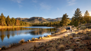
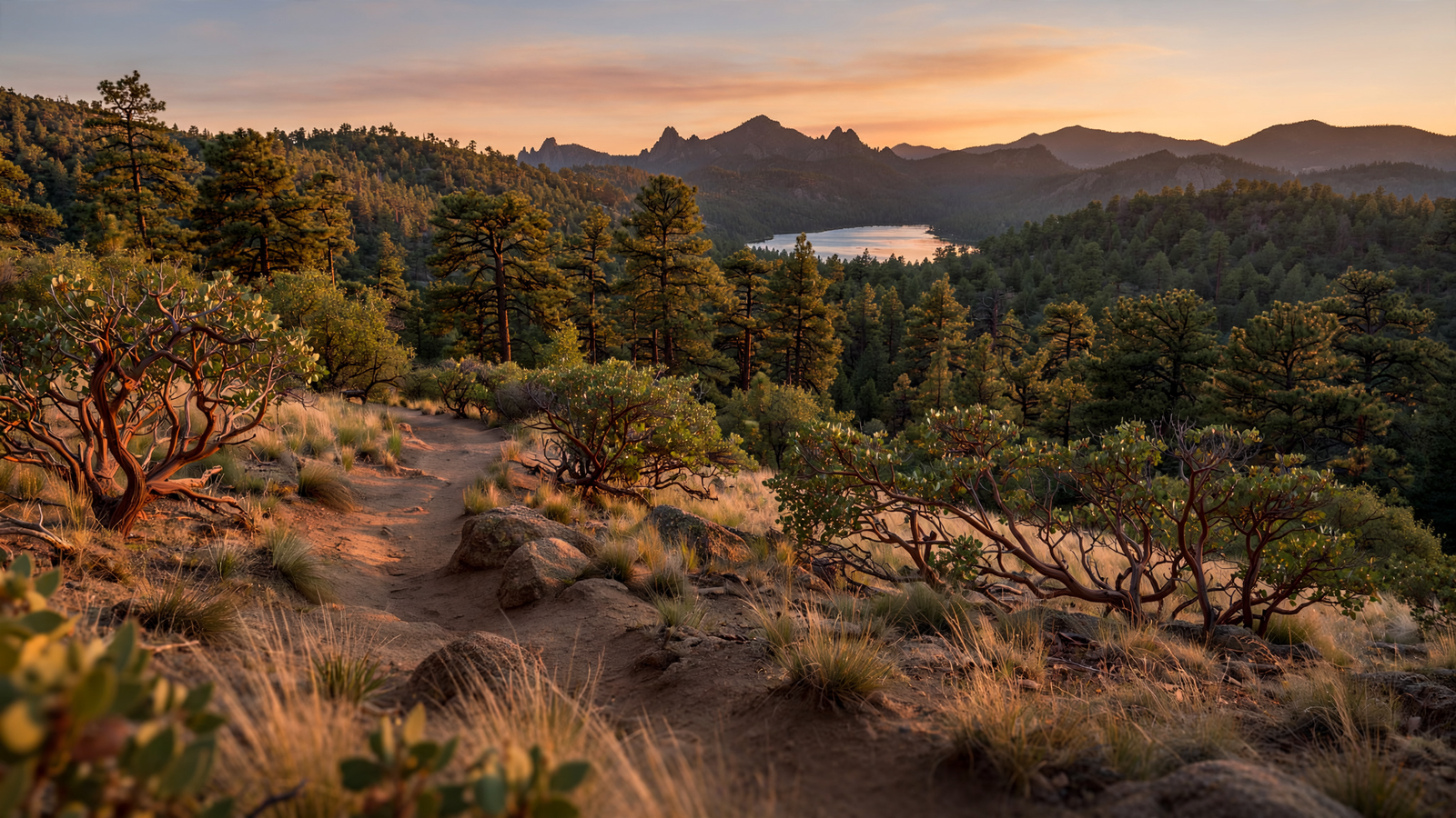
The forest does not have a single entrance, central lawn or grand landmark. It arrives instead as pine-covered hills, rocky drainages, high-country meadows, reservoirs, trailheads and long views. It surrounds Prescott with a public landscape that is both accessible and working—an environment where recreation, wildlife habitat, water protection, timber management, grazing, fire preparation and local history overlap.
That combination is what makes the Prescott National Forest more than scenery. It is part of the town’s infrastructure, even when it feels far removed from a city street.
A forest shaped around a high-desert city
The Prescott National Forest covers approximately 1.25 million acres in central Arizona. Its lands extend across a region of sharp ecological transitions, from lower-elevation desert and chaparral to pinyon-juniper country and ponderosa pine forests. Elevation, slope and water can change the character of the landscape within a short distance.
Prescott sits inside that transition zone. The city’s relatively mild four-season climate and mountain setting are closely tied to the surrounding forest. Roads, trails and scenic corridors connect the community to public land in nearly every direction, making outdoor access part of ordinary life rather than an occasional trip to a distant national park.
The forest also gives Prescott something that many growing communities struggle to retain: a visible edge between development and open country. That edge is not permanent or simple. Roads, homes, recreation facilities and utility corridors continue to shape the region. Still, the presence of a large federal forest means that much of the surrounding landscape is managed through a public process rather than being divided entirely into private parcels.
Public land with a long history of use
The Prescott National Forest was established in the early twentieth century, during the period when the United States was building a national system for managing forests and watersheds. In Arizona, that work was closely connected to the needs of communities that depended on mountain landscapes for water, wood, transportation routes and grazing.
The forest’s history is not separate from the history of central Arizona. Indigenous communities have long lived in and traveled through the region. Later, mining, ranching, military activity, settlement and transportation transformed the landscape. Remnants of those eras remain in old roads, mining features, historic cabins, grazing allotments and place names.
During the twentieth century, the Civilian Conservation Corps helped build roads, trails, recreation facilities and other public works across the country, including in Arizona’s national forests. Some of the infrastructure visitors use today reflects that broader era of public investment, when conservation and employment programs were linked to the creation of lasting community assets.
The result is a landscape that cannot be understood as untouched wilderness. It is a public forest shaped by many generations of use, management and adaptation. Its value comes partly from that history: the forest continues to serve people while retaining room for ecological processes that cities cannot provide.
Many ways to enter the landscape
One reason the Prescott National Forest matters locally is that it offers many different kinds of access. A visitor can approach it through a short walk near town, a longer trail in the pines, a fishing area, a scenic drive or a backcountry route that quickly leaves the urban world behind.
The forest contains hundreds of miles of trails and a wide range of developed and dispersed recreation opportunities. Some routes are suited to a brief family outing; others connect hikers, mountain bikers, horseback riders and campers with larger networks of public land. The forest’s recreation system is not a single attraction so much as a collection of outdoor rooms, each with a different scale and mood.
That variety also makes the forest useful to people who may not think of themselves as wilderness travelers. A resident can visit for a morning walk, a school group can study a watershed, and a visitor can plan a multiday trip. The same public land can support quiet observation, strenuous exercise and simple time outdoors.
Access, however, comes with responsibility. Forest roads and facilities can close because of fire danger, storms, maintenance or unsafe conditions. Visitors are expected to follow current restrictions, stay on designated routes where required, pack out waste and take care with campfires. In a dry landscape, small decisions can have consequences well beyond a single campsite.
Water begins in the high country
The forest is also a water landscape. Mountain slopes collect precipitation, slow runoff, feed creeks and help sustain reservoirs and riparian areas. In a region where water is limited and demand continues to grow, the health of those watersheds is a public concern, not merely an environmental one.
Streams and wet areas are especially valuable because they create habitat in an otherwise dry region. They support birds, mammals, amphibians, insects and plants while providing places where people can experience a different side of the high desert. Even small riparian corridors can act as ecological connectors through a broader matrix of forest and shrubland.
Healthy watersheds also depend on the condition of the land around them. Erosion, severe wildfire, invasive species, roads and heavy recreational use can affect water quality and stream function. Forest management therefore reaches beyond what visitors see at a trailhead. It includes maintaining roads, protecting sensitive areas, monitoring watersheds and managing vegetation across large tracts of land.
A forest learning to live with fire
Fire is one of the defining management challenges in the Prescott region. Ponderosa pine forests evolved with frequent, lower-intensity fires, but decades of suppression, changing weather patterns, drought and accumulated vegetation can contribute to more severe fire behavior.
The Forest Service and partner agencies use a combination of tools to reduce risk and improve forest resilience. Depending on the place and conditions, those tools can include prescribed fire, mechanical thinning, strategic fuel breaks, vegetation management and public education. None is a universal solution, and every treatment involves trade-offs. A forest that is safer in one location may look temporarily altered after thinning or a prescribed burn.
That visible change can be difficult to reconcile with the idea of a natural landscape. Yet the goal is not to freeze the forest in one appearance. It is to help forests remain capable of recovering from fire, drought and other disturbances while reducing the chance that a wildfire will move rapidly toward communities.
For Prescott, this work is especially significant because homes and forest often meet directly. The national forest provides open space, but it also creates a shared responsibility between land managers, residents and visitors. Defensible space around homes, careful recreation and support for long-term forest planning all form part of the same effort.
Wildlife corridors in a busy region
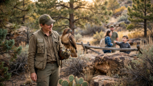
The forest’s size allows it to function as more than a collection of isolated parks. Its connected habitats provide room for mule deer, elk, black bears, mountain lions, birds of prey and many smaller species. The exact animals found in a particular area depend on elevation, vegetation and water, but the larger point is consistent: a substantial public forest gives wildlife more options than a landscape broken entirely into small private properties.
Those options matter as central Arizona grows. Roads, subdivisions and recreational traffic can fragment habitat, while drought can make water and food more difficult to find. Forest managers and wildlife agencies therefore consider movement corridors, seasonal habitat and sensitive areas when planning projects and recreation facilities.
Visitors are part of that system too. Keeping dogs under control, observing wildlife from a distance, securing food and respecting seasonal closures can reduce pressure on animals. The best forest experience is not always the one that produces the closest encounter. Often it is the one that allows wildlife to continue using the landscape without being crowded out.
Why the forest belongs in Prescott’s civic story
Prescott’s identity is often described through its historic downtown and Western traditions. Those elements are real, but the city’s relationship with public land is equally important. The forest helps explain why Prescott feels like a mountain community even as it grows. It supplies nearby places for exercise and reflection, protects important watersheds, preserves habitat and keeps the surrounding topography legible.
It also offers a practical lesson in what public land can do. A national forest does not need to be untouched to be valuable. It can carry roads and recreation facilities, support working uses, protect wildlife and still provide a sense of distance from development. Its success is measured not by a single attraction but by whether many needs can coexist over time.
That work is ongoing. The forest faces drought, wildfire, invasive species, crowding and the pressure created by a region that attracts both new residents and visitors. But its continued presence gives Prescott an unusual advantage: the chance to grow with a large, shared landscape still woven into everyday life.
In the end, the Prescott National Forest is not merely the view outside town. It is one of the reasons the town is what it is—a place where public land remains close enough to be used often, large enough to matter ecologically and complex enough to require care.