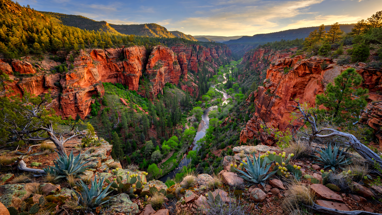
Some Arizona landscapes announce themselves from a highway pullout. Sycamore Canyon asks for more patience.
Its walls do not rise beside a major city or frame a heavily developed resort. Instead, the canyon opens gradually across the high country between the Verde Valley and the forests north of Sedona. Trails descend through ponderosa pine, juniper, oak, and rough red rock toward Sycamore Creek, a watercourse that has shaped one of the state’s largest and least developed canyon systems.
The result is a place that feels less like a single attraction than a long ecological corridor. In the space between plateau and river country, Sycamore Canyon holds together habitats that are often separated elsewhere: cool upland forest, dry grassland, desert vegetation, shaded creek banks, and steep cliff country.
Much of that landscape is protected as the Sycamore Canyon Wilderness, a federally designated wilderness shared by the Prescott and Coconino national forests. For visitors in Yavapai County, it is a reminder that a wild place does not need a famous entrance sign to become one of Arizona’s most valuable public landscapes.
A canyon shaped by water
Sycamore Canyon is commonly described as Arizona’s second-largest canyon, after the Grand Canyon. That comparison is useful not because the two places look alike, but because it helps explain the scale of Sycamore’s landscape. The canyon extends for roughly two dozen miles, with broad stretches of rugged country between its upper plateau and the Verde River region.
Its central feature is Sycamore Creek. Like many Arizona waterways, the creek’s flow changes with seasons, storms, snowmelt, and groundwater conditions. Yet its channel and associated springs create a continuous ecological pathway through a dry region. Water does not need to fill every bend of a creek to transform the land around it. For related reading, see The Verde River Greenway: How a Cottonwood Corridor Keeps a Desert Town Connected to Water.
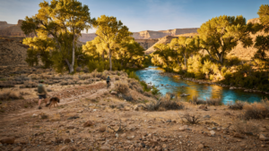
Along the stream, willows, cottonwoods, sycamores, and other riparian plants can create cool bands of green that stand out against the surrounding slopes. These shaded areas provide cover and food for wildlife, while the creek corridor offers a route through otherwise difficult terrain. The canyon’s name reflects the presence of Arizona sycamores, trees whose pale trunks and broad leaves are especially striking beside red and gray rock.
That contrast is one of the defining experiences of the place: a visitor may move from open, sunlit plateau to a narrow, leafy drainage in the course of a hike. The scenery changes because the elevation, geology, and availability of water change together.
Where several Arizona landscapes meet
The canyon sits at a transition zone. Higher elevations support ponderosa pine and mixed conifer forests, while lower and warmer areas shift toward chaparral, pinyon-juniper woodland, and desert-adapted vegetation. In between are cliffs, talus slopes, grasslands, shady side canyons, and pockets of riparian forest.
For wildlife, that variety matters. A connected drainage can serve as a travel route, a nesting area, a source of water, or a place to find seasonal food. Birds that use streamside trees may occupy the canyon floor while mule deer, javelina, foxes, raptors, reptiles, and other animals use the surrounding slopes and uplands.
The canyon is also part of a much larger Verde River watershed. Its waters eventually contribute to the Verde, one of Arizona’s important free-flowing rivers and a major ecological feature of central Arizona. Protecting an upstream canyon therefore does more than preserve a scenic view. It helps maintain the relationship between upland forests, tributary streams, riparian habitat, and the river system below.
This is one reason wilderness designations can be more significant than their boundaries suggest. The protected land is not an isolated island. It can safeguard movement, water, and habitat across a wider region.
Wilderness without a built attraction
Sycamore Canyon Wilderness was established in 1972, during a period when the United States was adding important roadless landscapes to the National Wilderness Preservation System. The designation limits the kinds of development allowed inside the area. There are no paved roads cutting through the wilderness, no permanent visitor complex, and no infrastructure designed to turn the canyon into a conventional sightseeing stop.
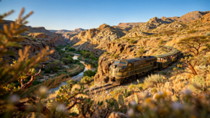
That absence is part of the experience. Wilderness visitors travel on foot, carry what they need, and accept that conditions can be uneven. A trail may cross rocky ground, disappear into vegetation, or become difficult to follow after a flood. Cell service can be unreliable, and water found in the canyon should never be assumed safe to drink without appropriate treatment. For related reading, see Verde Canyon Railroad: How a Mining Line Became a Window Into Yavapai County’s Wild Heart.
The landscape rewards that slower pace. Instead of moving from one constructed viewpoint to another, hikers notice smaller changes: the temperature beneath a cottonwood canopy, the sound of water over gravel, the texture of volcanic rock, or the way a canyon wall catches late-afternoon light. These are modest observations, but they are precisely what a protected wild corridor makes possible.
A place with more than one doorway
Sycamore Canyon does not have a single experience or a single “best” entrance. Access points on different sides lead into different portions of the canyon and can vary significantly in length, difficulty, road conditions, and water availability.
On the Yavapai County side, routes near the Verde Valley provide access to lower canyon country and the creek corridor. The Parsons Trail, reached from the forest north of Cottonwood, is among the better-known ways to approach Sycamore Creek. Other routes enter from the north and west, leading into higher and more remote sections of the wilderness.
That variety makes the area useful to different kinds of visitors. A prepared backpacker may plan a multi-day journey, while another person may choose a shorter out-and-back hike that reaches the creek and returns before conditions change. The important distinction is that even a short visit takes place in a landscape managed for minimal development rather than convenience.
Before going, visitors should check current information from the relevant national forest, especially for wildfire closures, flooding, road conditions, heat, and seasonal restrictions. Desert weather can change quickly. A dry-looking wash may become dangerous during storms, and a route that is manageable in spring can become punishing in summer.
Why the quiet matters
Protected places are often discussed in terms of dramatic scenery, but Sycamore Canyon’s deeper value is continuity. Its forests are not separated from its water. Its water is not separated from its wildlife habitat. Its cliffs and side canyons are not surrounded by a dense network of roads, buildings, and visitor facilities. For related reading, see Chiricahua National Monument: Arizona’s Stone Forest Where Desert Turns Vertical.
That continuity gives the landscape room to respond to drought, fire, floods, and changing temperatures. It does not make the canyon immune to those pressures. Climate change, invasive species, altered fire patterns, recreation impacts, and prolonged drought affect ecosystems throughout the Southwest. But an intact landscape begins with more options than a fragmented one.
Wilderness protection also preserves a kind of public experience that is becoming harder to find. The canyon does not need to be redesigned to be meaningful. Its value comes from allowing natural processes to remain visible: water carving rock, trees colonizing stream banks, fire reshaping forest, and wildlife moving through a connected range of elevations.
How to visit with the canyon in mind
A responsible visit starts with planning rather than improvisation. Check official forest updates, carry more water than the mileage alone might suggest, and use a map suited to backcountry travel. Tell someone where you are going and when you expect to return.
Inside the wilderness, stay on established routes where they exist, camp away from water and fragile vegetation, pack out waste, and avoid disturbing archaeological sites or wildlife. Dogs should be managed carefully, and visitors should remember that natural water sources may carry pathogens or contain sediment after storms.
Most of all, leave the canyon with its quiet intact. The absence of noise, pavement, and commercial infrastructure is not a lack to be corrected. It is the resource.
Sycamore Canyon’s importance lies in that combination of scale and restraint. It is large enough to connect several Arizona environments, rugged enough to resist easy development, and accessible enough to remain part of a public conversation about what central Arizona should preserve. In Yavapai County, the canyon offers a powerful lesson in place: sometimes the most useful public landscape is the one allowed to remain recognizably wild.
Use: Used for the Yavapai County portion of the landscape, national forest management, recreation planning, and current visitor-safety guidance.
Use: Used for information about the northern portion of Sycamore Canyon, wilderness access, forest conditions, and recreation guidance.
Use: Used to verify the wilderness designation, its relationship to the National Wilderness Preservation System, and general landscape context.