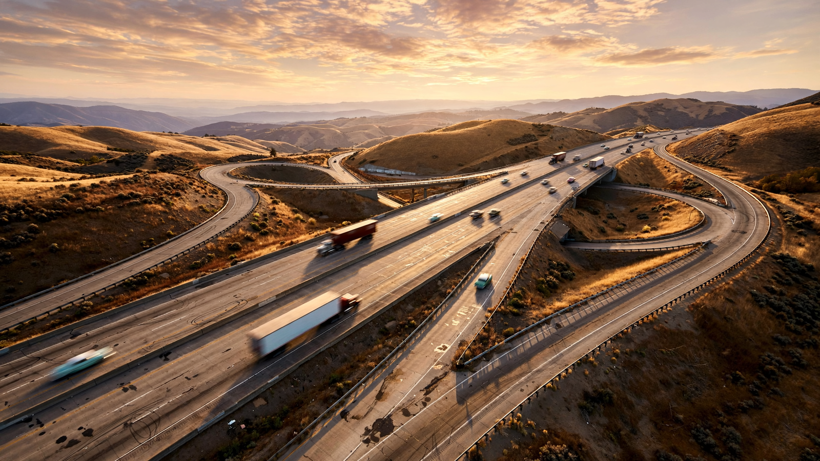
On a map of the United States, the Interstate Highway System looks less like a collection of roads than a piece of national machinery. Long lines cross the continent from coast to coast. Others run north and south, joining cities, farms, factories, ports, military bases, and small communities to a network that is easy to take for granted.
That network did not arrive all at once, and it was never simply a transportation project. The Interstate system grew out of military concerns, economic hopes, engineering experiments, political bargaining, and a distinctly American belief that a better road could make a larger country feel closer together.
More than six decades after the federal government committed itself to building the system, the Interstates remain one of the most consequential physical changes in American life. They changed the shape of cities, accelerated trucking, expanded tourism, altered retail, and made the private automobile central to everyday mobility. They also left behind difficult questions about neighborhoods, land use, and who benefited most from the new geography.
A road idea born before the highway boom
The modern Interstate system is usually associated with President Dwight D. Eisenhower, but the idea of long-distance highways had been developing for decades. Before the Second World War, the federal government helped states improve roads through a series of federal-aid programs. The nation already had important highways, including the U.S. numbered route system created in the 1920s, but these roads varied widely in quality and design.
Eisenhower’s own experience helped shape his interest in a more dependable national network. In 1919, as a young Army officer, he joined a military convoy that traveled from Washington, D.C., to San Francisco. The journey took weeks and exposed the limits of American roads. Bridges, mud, steep grades, mechanical failures, and slow progress were part of the trip.
During the Second World War, Eisenhower also observed Germany’s Autobahn network. He later regarded modern highways as important to national defense, since troops and equipment needed to move quickly across the country. But defense was only one part of the argument. A broad highway system promised faster freight, more reliable travel, and a stronger connection between regional economies.
The 1956 decision
The breakthrough came with the Federal-Aid Highway Act of 1956, signed by Eisenhower on June 29 of that year. The law authorized a vast program of controlled-access highways and established a funding structure that made construction possible on a national scale.
Under the arrangement, the federal government paid most of the cost of Interstate construction while states supplied a smaller share. The federal gasoline tax helped support the Highway Trust Fund, giving the program a dedicated source of revenue. Instead of asking each state to build isolated stretches according to its own timetable, the law treated the system as a connected national project.
The original plan envisioned roughly 41,000 miles of Interstate highways. Roads were designed for higher speeds and heavier traffic than many earlier routes. Access was limited to selected interchanges rather than individual driveways. Divided carriageways, gentler curves, wider shoulders, controlled grades, and standardized signs were intended to make long-distance travel safer and more predictable.
That standardization was one of the system’s quiet achievements. A driver crossing several states could expect familiar lane markings, exit signs, route shields, and interchange patterns. The road could still pass through dramatically different landscapes, but its basic language remained recognizable.
How the system reads like a map
Interstate numbering gives the network a built-in logic. Major east-west routes generally use even numbers, with numbers increasing from the south toward the north. Major north-south routes use odd numbers, increasing from the west toward the east. Routes ending in zero or five often indicate especially significant cross-country corridors, although the system has exceptions.
Three-digit numbers usually identify routes connected to a major Interstate. A loop or beltway often begins with an even first digit, while a spur route commonly begins with an odd one. These conventions do not merely help motorists read signs. They turn the entire highway network into a kind of national diagram, allowing travelers to infer a route’s general relationship to the larger system.
The roads themselves were built in pieces. States selected alignments, acquired rights of way, relocated utilities, designed interchanges, and negotiated the practical complications of crossing rivers, mountains, rail lines, and existing towns. Some sections opened long before the system was considered complete. The final shape emerged through years of construction, revision, and expansion.
What changed when the roads arrived
The Interstate system made distance more manageable for many Americans. Family vacations became easier to plan. Regional attractions could draw visitors from farther away. Colleges, hospitals, distribution centers, and employers gained access to a wider labor and consumer market.
For the trucking industry, the new roads were transformative. Freight could move more quickly and with fewer interruptions between factories, warehouses, farms, ports, and stores. The rise of just-in-time delivery would come later, but the basic promise was already present: a truck could cover long distances on a more consistent route than older roads generally allowed.
The highway also changed the roadside economy. Motels, fuel stations, fast-food restaurants, shopping centers, repair shops, and tourist attractions increasingly organized themselves around interchanges and heavily traveled corridors. Some older downtowns lost through traffic when a bypass diverted travelers around them. Other communities gained new commercial districts near exits.
In this way, the Interstate was more than pavement. It was a development pattern. It encouraged the separation of homes, workplaces, shopping, and recreation across wider areas. Suburban growth became easier in places with highway access, while cities increasingly had to manage congestion created by the very roads intended to relieve it.
The cost of a straighter line
The system’s benefits were not distributed evenly. Building a highway requires land, and the most direct or inexpensive alignment was not always the least disruptive to established communities. In many cities, Interstate routes passed through older neighborhoods, sometimes dividing them physically and making local travel more difficult.
Those decisions reflected the planning practices and political power of their time. Neighborhoods with fewer resources often had less influence over alignment choices than downtown business interests, suburban developers, or transportation officials. The resulting effects could include demolition, displacement, noise, pollution, and the loss of local streets or commercial connections.
That history does not erase the system’s engineering achievement, but it changes how the achievement should be understood. A highway can improve regional mobility while making daily life harder for people living beside it. Today, transportation agencies and local governments increasingly examine ways to reconnect divided neighborhoods, improve pedestrian crossings, cap or remove obsolete highway segments, and involve residents earlier in planning.
An American landscape in motion
Interstates also changed how Americans imagine the country. A trip that once required careful attention to every town and turn could become a steady sequence of signs, exits, rest areas, and distant horizons. The road made the nation feel both larger and smaller: larger because more places became reachable, smaller because the journey between them became more predictable.
The experience was never entirely uniform. A driver on Interstate 80 encounters a different country from a driver on Interstate 10, and a mountain pass demands different choices from a flat Midwestern corridor. Yet the system creates a shared framework for all of them. It links the industrial Northeast with the Great Plains, the Pacific Coast with the desert Southwest, and major metropolitan areas with the rural places that supply them.
Its signs have become part of American visual culture. The red, white, and blue shield appears in family photographs, road-trip memories, truck-stop postcards, maps on classroom walls, and the stories people tell about leaving home or returning to it. The Interstate is infrastructure, but it is also a national habit.
The unfinished highway story
The original construction era is over, but the Interstate system is not static. Bridges must be replaced, pavement rebuilt, interchanges redesigned, and routes adapted to changing traffic. New concerns—fuel efficiency, air quality, electric vehicles, freight growth, climate resilience, and safer movement for pedestrians and cyclists—are reshaping the questions transportation planners ask.
There is also a growing recognition that mobility is not measured only by how quickly a car can travel. A successful transportation system must consider people who do not drive, communities divided by past construction, and the environmental effects of maintaining a vast road network. The next chapter may involve repairing connections as much as adding capacity.
Still, the central achievement of the Interstate system remains clear. In the decades after 1956, the United States built a road network on a scale few earlier generations could have imagined. It turned a collection of regional highways into a coordinated national framework and made the automobile an even more powerful force in American life.
Every exit sign is a reminder that the system was designed not merely to move cars, but to connect places. Its legacy is visible in freight schedules, weekend trips, suburban streets, roadside businesses, and the ordinary expectation that a person can cross a state—or the country—by following a familiar line of pavement.