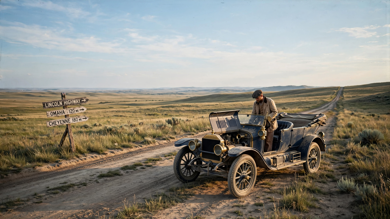
Long before the interstate system, before numbered highways and roadside chains, the idea of driving across the United States was closer to an expedition than a vacation. Roads changed names from town to town. Some disappeared into mud. Others were little more than wagon tracks, with bridges, ferries and steep grades standing between one community and the next.
Then, in 1913, a group of boosters proposed a road with an unusually large ambition: a route that would connect New York City and San Francisco by automobile. It would be called the Lincoln Highway, and although it was never built as one continuous government project, it helped persuade Americans that the nation’s future could be traveled on four wheels.
The highway became one of the country’s earliest great experiments in mobility. It helped turn the automobile from a local machine into a tool for national travel, encouraged towns to improve their roads and gave motorists a shared route across a rapidly changing America.
A highway before the highway system
The Lincoln Highway was the idea of entrepreneur Carl G. Fisher, an early automobile-industry promoter who had also helped develop the Indianapolis Motor Speedway. Fisher understood that cars could not become part of everyday American life if people had nowhere reliable to drive them.
At the time, road building was largely a local responsibility. A traveler crossing several states might encounter stretches maintained by counties, private turnpikes, city streets and no one at all. There was no national network designed for long-distance motorists, and the federal government had not yet created the modern highway system.
Fisher’s proposal was ambitious but practical in one important way: the Lincoln Highway Association would not build every mile itself. Instead, it would promote a coast-to-coast route, publicize the towns along it and encourage local and state authorities to improve the road. The association also worked to attract private donations and public support.
The route was announced in 1913, running from New York City to Lincoln Park in San Francisco. It crossed 12 states and followed a shifting mixture of existing roads, streets and newly improved sections. The exact alignment changed over time as communities built better bridges, straighter roads and more durable surfaces.
That patchwork quality was not a weakness so much as a reflection of the country’s transportation reality. The Lincoln Highway was less a single ribbon of pavement than a national agreement about where a coast-to-coast road should go.
Making the automobile visible
In its earliest years, the Lincoln Highway was part engineering project, part publicity campaign and part civic movement. The association used maps, guidebooks, signs and public events to give the route an identity motorists could recognize.
Those efforts mattered because early driving required preparation. Travelers needed to know where fuel might be available, which bridges were passable and whether a road disappeared after the next county line. A named route made the journey easier to imagine and easier to discuss.
The highway also made road improvement visible to the public. A town that wanted to attract motorists had a reason to improve its approach roads, repair bridges and provide services. Hotels, garages, restaurants and filling stations began to find opportunity along the emerging route. In this way, the Lincoln Highway helped create an early version of the roadside economy that would later define American travel.
It also connected places that had previously thought of themselves mainly in local or regional terms. A community in Iowa, Nebraska or Utah could now describe itself as part of a route that reached both oceans. The road became a form of civic advertising: a way for towns to announce that they were open, reachable and participating in the automobile age.
The road as a national classroom
Driving the Lincoln Highway was not always easy. Early motorists faced dust, mud, broken axles, steep grades and long gaps between services. In the West, some stretches were particularly rough. Travelers carried tools, spare parts and supplies because a short mechanical problem could become a long wait.
Yet those difficulties made the route an important learning experience. Drivers discovered what kind of roads cars needed. Officials saw which bridges and grades created bottlenecks. Engineers gained experience with road surfaces that could withstand heavier and faster traffic. Communities learned that building a road was only the beginning; maintaining it was a permanent public responsibility.
The Lincoln Highway also helped demonstrate that motorists were not merely wealthy hobbyists. During the 1910s and 1920s, automobile ownership expanded rapidly, and the road became part of a broader movement toward personal mobility. Families could visit relatives farther away. Businesses could reach new markets. Tourists could see landscapes previously encountered mainly by rail.
That transformation did not happen because one road solved every problem. It happened because the Lincoln Highway gave the country a visible example of what coordinated road travel might look like.
Concrete markers and a shared memory
One of the highway’s most recognizable chapters came in 1928, when concrete markers were placed along the route. The project was supported by the Lincoln Highway Association and carried out with the participation of the Boy Scouts of America. Thousands of markers were installed to identify the historic road and honor Abraham Lincoln.
Many of those markers disappeared as roads were widened, realigned or absorbed into newer highways. Some were moved to museums, courthouses and local parks. Others remain along original sections of road, where they serve as small but tangible reminders of the early automobile era.
The markers were more than navigation aids. They turned a dispersed route into a shared national story. A traveler seeing the same emblem in Pennsylvania, Nebraska or Nevada could understand that the road was part of something larger than a county improvement project.
What happened when the interstates arrived
The Lincoln Highway’s central role faded after the creation of the U.S. numbered highway system in 1926 and the interstate highway system in the mid-20th century. Newer roads were designed for higher speeds, heavier traffic and more direct travel. In many places, the old route was bypassed, renamed or incorporated into other highways.
But disappearance from the main map did not mean disappearance from the landscape. Sections of the original route still survive as city streets, rural roads, business corridors and scenic drives. Historic associations, local museums and preservation groups continue to identify and interpret those pieces.
The route’s legacy can also be seen in the logic of later road systems. The national highway network that followed relied on ideas the Lincoln Highway had helped popularize: consistent routes, recognizable signs, dependable connections and cooperation across state lines. The Lincoln Highway did not create the interstate system, but it helped build public enthusiasm for a country where long-distance driving was possible.
A different kind of American landmark
Many famous roads are remembered for scenery, speed or the destinations they connect. The Lincoln Highway is important for another reason. It represents a moment when the United States had to imagine its roads before it could build them.
Its story is not simply about the automobile. It is about the public work required to make new technology useful. Cars needed roads, roads needed cooperation and cooperation needed a shared vision. The Lincoln Highway supplied that vision in a form people could see on a map and attempt in a vehicle.
Today, a coast-to-coast drive can feel routine. Navigation apps calculate routes in seconds, fuel and food are usually close at hand, and broad highways cross landscapes that once demanded days of careful planning. The ease of that journey can obscure how radical the idea once was.
The Lincoln Highway helped make the journey imaginable first. By linking communities, encouraging road improvements and giving early motorists a common path, it helped America learn what the automobile could mean—not only as a machine, but as a way of bringing a very large country closer together.