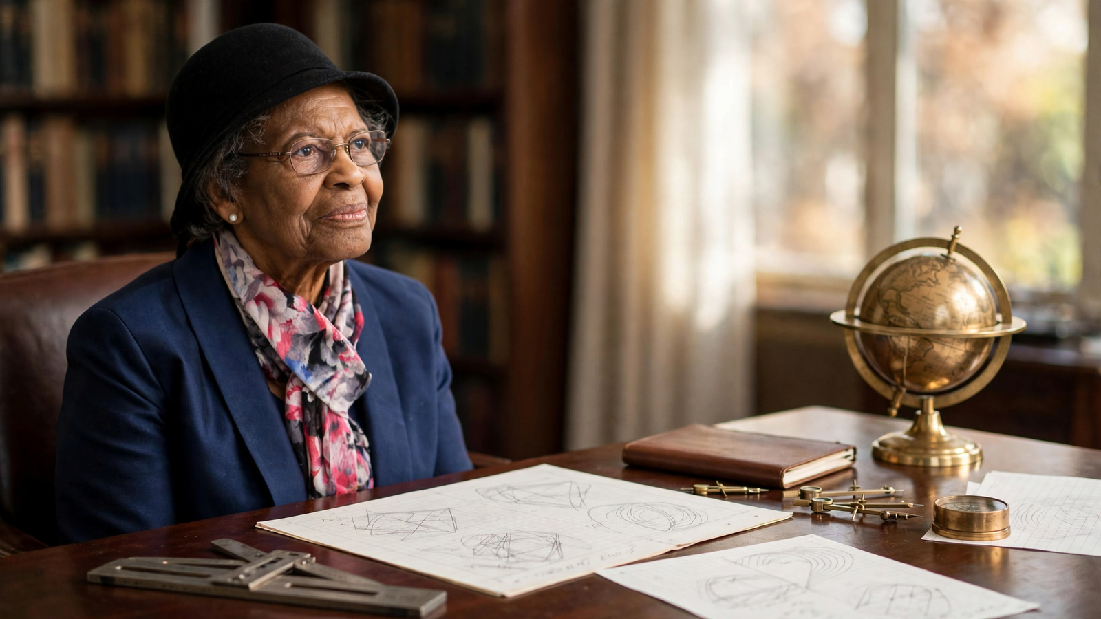
Every time a phone suggests a faster route, a ship checks its position offshore, or an airplane follows a digital flight plan, it relies on a basic question: Where, exactly, are we?
That question is harder than it sounds. Earth is not a perfect sphere. Mountains, ocean trenches, shifting water and differences in gravity all affect the planet’s shape. To turn signals from satellites into useful positions, engineers need an extraordinarily precise model of the world below them.
For decades, Gladys Mae West helped build that model.
West was a mathematician and programmer whose work at the U.S. Naval Proving Ground in Dahlgren, Virginia, contributed to the development of satellite-based geodesy—the science of measuring Earth’s size, shape and gravitational field. Her career unfolded mostly outside the public spotlight. She did not become famous for a single dramatic invention. Instead, she spent years refining calculations, checking data and writing the computer programs that transformed satellite observations into increasingly accurate descriptions of Earth.
That patient work became part of the technical foundation behind the Global Positioning System, or GPS. West did not invent GPS by herself, and the system was created through the work of thousands of people and many institutions. But her contribution shows how modern infrastructure is often assembled: through specialized labor that may remain invisible until someone looks closely at the history.
A scholarship opened the first door
West grew up in rural Sutherland, Virginia, in a family connected to farming. Her parents worked hard, but the opportunities available to Black children in the segregated South were limited. West later recalled that education offered a route beyond the circumstances into which she had been born.
At Virginia State College, a historically Black institution, she studied mathematics and graduated in 1952. She later earned a master’s degree in mathematics from the same school. Teaching followed, but West wanted to use mathematics in a more technical setting.
In 1956, she joined the staff at the Naval Proving Ground in Dahlgren. The facility tested weapons and conducted complex scientific work, including research involving tracking, computing and the behavior of objects in space. West was one of the first Black employees hired there, and she worked in an environment where both race and gender could narrow the expectations placed on a professional. For related reading, see The World Wide Web: How a CERN Proposal Turned Information Into a Public Place.
Her position required more than solving textbook problems. It demanded an ability to translate physical observations into mathematical instructions that computers could process. In an era when computing was still associated with large machines, punch cards and carefully prepared programs, even a small error could distort a result.
Measuring a world that is not perfectly round
Geodesy has ancient roots. Civilizations have long measured land, mapped coastlines and calculated distances. But the arrival of artificial satellites created a new possibility: scientists could observe how objects moved around Earth and use those observations to refine knowledge of the planet itself.
West worked with satellite data to study Earth’s changing shape and gravitational effects. One important project involved GEOS 3, a NASA satellite launched in the 1970s to gather information about Earth’s ocean surface and gravitational field. Another involved Seasat, an early Earth-observing satellite designed to study the oceans.
The work was computationally demanding. West’s team had to account for the fact that satellites do not orbit a mathematically perfect globe. Their paths are influenced by variations in gravity, and the surface being measured is constantly changing. Tides, ocean conditions and the uneven distribution of mass inside Earth all matter when the goal is precision.
West helped develop and improve mathematical models that represented these complexities. She also wrote and maintained software used to process satellite observations. The goal was not simply to produce a picture of Earth, but to create a reference surface precise enough for navigation, surveying and other applications.
The resulting idea is sometimes called a geoid: a model of the shape Earth would have if its oceans were governed only by gravity and rotation. It is different from the familiar smooth globe used in classrooms. The geoid is lumpy in the mathematical sense, because Earth’s mass is distributed unevenly.
The hidden labor inside a familiar technology
GPS is often described through its most visible components: satellites orbiting overhead and receivers carried in cars or phones. But satellite positioning also depends on timekeeping, radio signals, orbital calculations, ground-control systems and reference models of Earth.
West’s work belonged to that less visible layer. Her calculations helped make it possible to relate satellite measurements to locations on the ground. That distinction matters. She was not the sole creator of GPS, nor did her career represent a single moment when the system suddenly came into existence. Instead, her work contributed to the long process of making satellite navigation accurate enough for everyday use. For related reading, see Wi-Fi: How a Radio Experiment Became the World’s Invisible Infrastructure.
Today, positioning systems support far more than turn-by-turn directions. They help surveyors measure land, farmers manage fields, scientists monitor movement, emergency crews coordinate responses and financial networks maintain precise timing. Ships, aircraft, construction projects and telecommunications systems all depend in different ways on the ability to establish location and time.
When people describe GPS as invisible infrastructure, they are also describing careers like West’s: essential, technical and easy to overlook because the final service feels effortless.
A career conducted largely out of view
West spent more than four decades at Dahlgren. Much of her work was performed behind the scenes, where accuracy mattered more than recognition. She advanced from handling calculations to managing projects and programming increasingly sophisticated computers.
Her story also complicates the familiar image of a technological pioneer. Popular accounts often focus on a lone inventor, a breakthrough moment or a machine that can be displayed in a museum. West’s contribution was different. It involved persistence, institutional knowledge and the repeated improvement of models that other researchers and engineers could build upon.
That kind of work is especially important in fields where no single result tells the whole story. A satellite model becomes useful because it is tested, corrected and integrated with other systems. Precision emerges over time.
West eventually retired from government service in 1998. Retirement did not end her education. She earned a doctorate in public administration from Virginia Tech in 2018, completing the degree when she was 87. Her dissertation examined factors affecting the implementation of distance learning in higher education.
The achievement was notable not because it fit a simple story about overcoming age, but because it revealed a consistent pattern in West’s life: she continued learning, applied discipline to difficult problems and treated education as an active part of adulthood rather than a phase that ended with a first degree. For related reading, see The Transatlantic Telegraph Cable: How a Wire Under the Ocean Shrunk the World.
Recognition came late, but the work was already everywhere
West’s role became more widely known in the 2010s, as institutions began highlighting the people whose work had been overlooked in traditional accounts of science and technology. She was inducted into the U.S. Air Force Space and Missile Pioneers Hall of Fame in 2018, recognition connected to her contributions to satellite geodesy.
Her story has since appeared in classrooms and public histories of GPS. It offers students a more complete picture of how technical progress happens. Mathematics is not merely a school subject; it can become a way to describe a planet. Programming is not only about consumer applications; it can help convert observations of space into practical knowledge on Earth.
West’s career is also a reminder that representation in science is about more than symbolic visibility. A Black woman from rural Virginia entered a highly technical federal workplace, built expertise in a demanding field and contributed to systems used around the world. The significance lies both in the barrier she crossed and in the quality of the work she performed once she arrived.
A map is a record of many minds
Modern navigation can make location appear instant and absolute. A blue dot arrives on a screen with no visible trace of the measurements, corrections and models beneath it. But every location is the end point of a chain of human decisions and accumulated knowledge.
Gladys West helped strengthen one of the links in that chain. Her work did not announce itself with a launch or a headline. It lived in equations, computer code and repeated efforts to describe Earth more faithfully.
That may be the most fitting lesson of her career. Some of the people who change everyday life do so by making the world easier to measure, easier to understand and more reliably connected. Their names may arrive long after their work has become part of everyone’s routine.
Use: Career history, satellite-geodesy work and 2018 recognition.
Use: Biographical background and contribution to the mathematical modeling used in GPS.
Use: Independent biographical reference for West’s education, career and scientific contribution.
Use: Context on the satellite segment of GPS and how the broader positioning system operates.