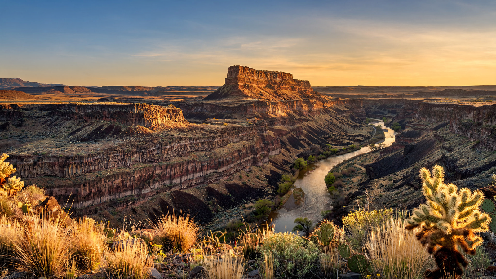
In Yavapai County, the road to Agua Fria National Monument can feel like a gradual departure from ordinary Arizona. Pavement gives way to rough tracks. The horizon opens. Juniper and piñon begin to share the landscape with grassland, volcanic rock, and pale canyon walls. Then the monument reveals its central fact: this is not simply open desert. It is a layered cultural landscape, shaped by water, movement, farming, wildlife, and generations of human attention.
Agua Fria National Monument protects more than 72,000 acres of high-desert country about 40 miles north of the Phoenix metropolitan area. The Bureau of Land Management manages the monument as part of the National Conservation Lands system. Its most visible features are the Agua Fria River, two broad mesas, and a network of side canyons. Its most remarkable features may be less obvious: hundreds of archaeological sites spread across the plateau and along the river corridors.
That combination makes Agua Fria an especially useful place to understand central Arizona. Visitors can encounter a landscape that feels remote without being far from a major city, while also seeing how people used a difficult environment without transforming it beyond recognition.
A monument built around a river and two mesas
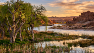
The Agua Fria River gives the national monument its name and much of its character. In a region where water often appears briefly or seasonally, a river corridor creates a different kind of habitat. Riparian vegetation gathers along the channel, drawing birds and other wildlife into the surrounding grasslands and rocky uplands.
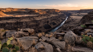
The monument’s terrain rises from river canyons to mesas and rolling uplands. Elevation changes help produce a mosaic of plant communities rather than a single, uniform desert scene. Piñon and juniper woodlands occupy some areas, while open grasslands spread across others. In the canyons, cottonwoods, willows, and other water-dependent plants mark the places where the river still makes a difference. For related reading, see Agua Fria National Monument: Where Arizona’s High Desert Keeps a Human Archive.
These transitions are part of what makes the monument rewarding to explore slowly. A short distance can change the view from a wide, sunlit plateau to a shaded drainage or a canyon rim. The landscape is not arranged like a conventional park, with a single famous overlook at its center. Instead, its meaning accumulates through distance, geology, and the evidence of earlier inhabitants.
A public landscape with an ancient record
Agua Fria is known for its concentration of archaeological sites. The Bureau of Land Management identifies more than 450 recorded sites within the monument, including settlements, agricultural features, rock art, and other traces of long-term use. Many are associated with ancestral communities that lived in the region before European colonization.
The most prominent remains include masonry structures sometimes called pueblos, as well as smaller habitation sites and defensive or ceremonial features. On Perry Mesa, the remains of Pueblo la Plata and other settlements show that people built substantial communities on a landscape that can seem, at first glance, too dry and exposed for dense occupation.
That first impression is misleading. The plateau offered workable ground, views across the surrounding country, access to seasonal resources, and proximity to the Agua Fria drainage. Farming in such an environment required detailed knowledge of rainfall, soil, runoff, and elevation. The archaeological record is therefore not just a collection of old walls. It is evidence of planning and adaptation.
Rock art adds another layer. Petroglyphs appear on boulders and rock faces in several parts of the monument. Their meanings are not always known, and responsible visitors should resist the temptation to treat every image as a simple message waiting to be decoded. What can be said with confidence is that these markings are part of a cultural record connected to the people who lived in and traveled through the region. For related reading, see Tuzigoot National Monument: How a Verde Valley Hilltop Keeps an Ancient Community in View.
The sites also remain connected to living Indigenous communities and to the responsibilities of public land management. Ancient architecture should not be treated as scenery or as a collection of souvenirs. Visitors are asked not to climb on walls, move artifacts, touch rock art, or remove objects. Leaving these places undisturbed is one of the simplest ways to help preserve the information they still hold.
Why the monument still feels open
Agua Fria’s relative lack of development is central to the experience. There is no large visitor center, paved scenic loop, or dense network of built amenities inside the monument. Access points are dispersed, and many roads are unpaved. Some routes become difficult or impassable after storms, while summer heat can make even a modest walk more demanding than its distance suggests.
That roughness is not an accidental inconvenience. It is part of why the monument continues to function as a broad habitat and cultural landscape rather than a series of isolated attractions. Open country allows wildlife to move between river corridors, grasslands, and woodland. It also preserves long views that help visitors understand how settlements related to one another and to the surrounding terrain.
The absence of heavy infrastructure does require preparation. A dependable vehicle, extra water, sun protection, navigation tools, and a careful look at current Bureau of Land Management conditions are important. Cell service may be limited. Roads can be muddy after rain, and a route that looks manageable on a map may be rough in practice. Visitors should also plan to pack out all trash because services are limited. For related reading, see S’edav Va’aki Museum: How Phoenix Keeps an Ancient Desert City in View.
For those who prefer a more defined introduction, the Badger Springs area provides access to the Agua Fria River and a chance to experience the monument’s riparian side. Other approaches lead toward archaeological landscapes and canyon country. Conditions and access change, so the BLM’s current notices should guide any trip more than an old map or an informal online description.
The value of a place that asks for patience
Agua Fria does not offer the instant clarity of a single landmark. Its stories are distributed across the land. A masonry wall may appear only after a careful walk. A river may be hidden below a rim. A broad view may reveal why a settlement was placed where it was. The monument rewards visitors who allow the landscape to become legible over time.
That quality also makes it an important counterpart to more developed destinations in central Arizona. The Phoenix area is often described through growth, roads, and expanding suburbs. Agua Fria offers a different view of the same region: a place where open space still stretches across mesas, where a river corridor supports life, and where the human history of the Southwest is visible without being reduced to a single building or date.
The monument’s story is also a reminder that preservation is not the same as freezing a landscape in the past. Rivers change course. Vegetation responds to drought and fire. Wildlife moves through the country. Archaeological sites continue to weather. Good stewardship means protecting both the physical remains and the broader setting that gives them meaning.
How to visit with care
- Check the Bureau of Land Management’s Agua Fria National Monument page for current road, weather, fire, and access information.
- Carry more water than you expect to need, especially from late spring through early fall.
- Use a high-clearance vehicle where conditions require it, and avoid traveling on muddy roads.
- Stay out of archaeological structures and do not touch petroglyphs or collect artifacts.
- Keep dogs under control and respect wildlife, livestock, and other visitors.
- Plan to pack out trash and leave natural and cultural objects where you find them.
Agua Fria National Monument is easy to underestimate because it does not announce itself with a resort town or a polished entrance road. Its appeal is quieter and more durable. Across a broad section of Yavapai County, water, stone, grassland, wildlife, and human history remain in conversation. The result is a public place that asks visitors not merely to look at Arizona, but to read it.
Use: Monument size, location, management, landscape features, visitor guidance, archaeological resources, and access considerations.
Use: Background on the monument’s conservation purposes, natural setting, cultural resources, and place within the National Conservation Lands system.
Use: Federal establishment of Agua Fria National Monument and the cultural and natural values identified for protection.