In the early United States, the Appalachian Mountains were more than a scenic horizon. They were a barrier to movement, trade, and communication. Rivers could carry people part of the way west, but roads were often muddy tracks, steep paths, or seasonal routes that made long-distance travel slow and uncertain.
The National Road changed that. Built with federal money beginning in the early 19th century, it became the young republic’s first major government-backed highway across the Appalachians. For decades, it carried stagecoaches, settlers, military traffic, livestock, farm goods, and the mail. Its story is not only about road engineering. It is about how transportation helped the United States imagine itself as a single connected country.
A road for a growing republic
After independence, the country’s population and political ambitions were moving west. Settlements were spreading beyond the original seaboard states, while the federal government wanted stronger commercial and political ties between the Atlantic coast and the interior.
President Thomas Jefferson supported the idea of a road connecting the Potomac River at Cumberland, Maryland, with the new western settlements. Congress authorized the project in 1806, making it one of the earliest large internal-improvement projects funded by the federal government.
The choice of Cumberland was practical. The town stood near the eastern side of the Appalachian barrier and was already linked by water to eastern markets through the Potomac River system. From there, engineers and laborers would push westward through difficult terrain toward the Ohio River and beyond.
The road was sometimes called the Cumberland Road, after its eastern starting point. As it advanced, it became known more broadly as the National Road.
Building across the mountains
Construction began in 1811. The work was demanding because the route had to cross ridges, descend narrow valleys, bridge streams, and survive heavy wagon traffic. Surveyors had to balance a practical grade against the need to keep the road moving toward its destination. For related reading, see The Interstate Highway System: How America Built a New Kind of Road.
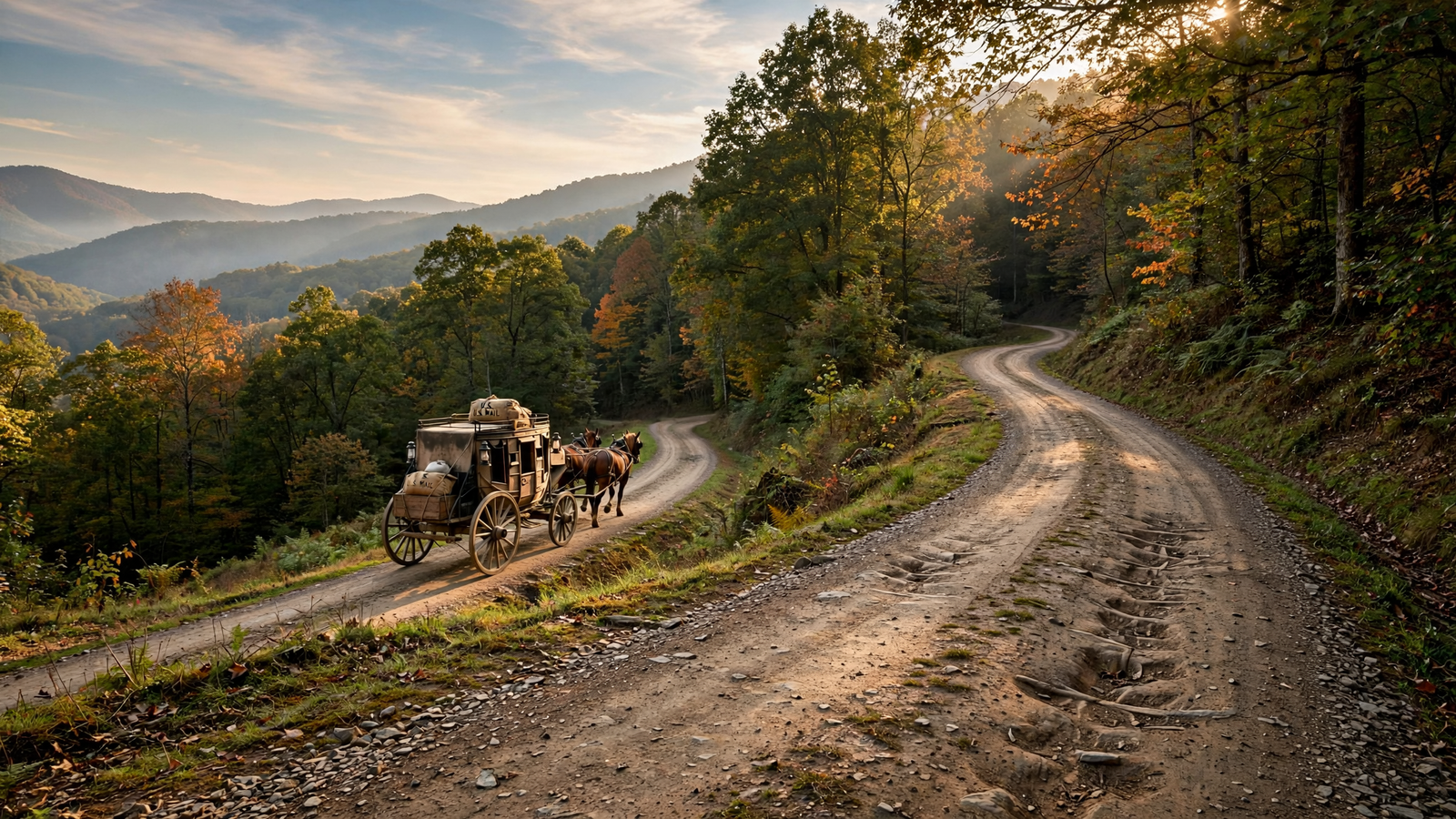
Early road builders relied on labor-intensive methods rather than modern paving equipment. They cleared trees, graded earth, dug drainage ditches, and placed layers of stone. In some places, the road used a form of macadam construction, in which carefully sized layers of crushed stone created a durable surface that shed water better than ordinary dirt.
The results were not uniform. Some stretches deteriorated quickly, especially under the weight of freight wagons and during wet weather. Maintenance became a permanent challenge. A road could be celebrated as a national achievement and still be rough, muddy, or deeply rutted in everyday use.
Even so, the National Road represented a major improvement over many earlier routes. It established a more reliable corridor through the mountains and gave travelers a recognizable path with supporting businesses and services.
From Cumberland to the Ohio River
The first major western goal was Wheeling, Virginia—now Wheeling, West Virginia—on the Ohio River. The road reached Wheeling in 1818. That connection mattered because the Ohio River was one of the great transportation routes into the interior. Travelers and freight could continue west and south by water, linking the road to a much larger network.
The road did not stop at Wheeling. It continued across what is now Ohio and eventually reached Vandalia, Illinois, the state capital at the time. The full route from Cumberland to Vandalia stretched roughly 600 miles, although the road’s exact branches and later extensions varied.
Congress continued to authorize sections through the 1820s and 1830s. The road reached Columbus, Ohio, in the early 1830s and Vandalia later in that decade. By then, it had become a central route for people heading toward the Midwest.
The everyday world of the road
A historic highway is easier to understand through the ordinary things that happened along it. The National Road was lined with taverns, inns, blacksmith shops, stores, stables, and tollhouses. Communities formed or grew around places where travelers stopped to change horses, repair wagons, eat meals, or spend the night.
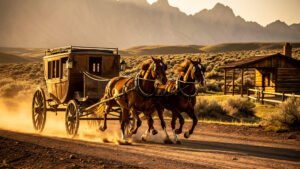
Stagecoach companies used the route to move passengers and mail. Freight wagons carried manufactured goods westward and agricultural products eastward. Farmers near the road gained access to markets that had once been distant or difficult to reach. Merchants could plan around a transportation corridor rather than depend entirely on local exchange.
Travel was still uncomfortable and slow by modern standards. A stagecoach ride could be noisy, crowded, and exhausting, while wagon journeys were vulnerable to weather, breakdowns, and delays. Yet the road made long-distance movement more predictable. It turned a hazardous crossing into a journey that could be organized around known stopping places. For related reading, see Blue Highways: How a Quiet Road Book Changed the Way America Travels.
Roadside structures became part of the National Road’s visual identity. The most recognizable were stone arch bridges, some of which survive today. The S bridge near Old Washington, Ohio, is one famous example: its curved design helped the road cross uneven ground while keeping the route’s grade manageable.
Transportation and the westward movement
The National Road helped accelerate migration into the interior, but that movement came with a complicated human cost. The road crossed landscapes shaped by Native nations, including communities whose lands had been taken or whose sovereignty had been undermined by federal and state expansion. Improved transportation made it easier for settlers, speculators, businesses, and government forces to move west.
That tension sits at the center of the road’s history. Infrastructure can connect places and expand opportunity for some people while also advancing dispossession for others. The National Road was a symbol of national integration, but it was built within a period of aggressive territorial expansion.
For settlers moving west, however, the road offered a comparatively direct route through the mountains. It helped make Ohio, Indiana, and Illinois more closely tied to eastern markets and political institutions. Towns along the route became part of a growing commercial landscape rather than isolated frontier outposts.
Why the federal government paid
The National Road also became part of a larger argument about the role of the federal government. Supporters believed Washington should help build roads, canals, and other improvements that benefited the whole country. Critics questioned whether the Constitution gave the federal government authority to fund such projects.
That debate never fully disappeared. President James Madison vetoed legislation in 1817 that would have distributed federal funds for broader internal improvements, arguing that the Constitution did not clearly authorize the spending. The National Road continued because Congress had authorized it through specific legislation, but its history showed how transportation policy could become a constitutional question.
Funding and administration remained difficult. The federal government sometimes transferred sections to states, and tolls were used in attempts to support maintenance. Responsibility for repairs could be unclear, especially as the road crossed several states with different policies and priorities. For related reading, see The Harlem Renaissance: How Black Artists Built a New American Culture.
The railroad changes the journey
By the middle of the 19th century, railroads were beginning to challenge the National Road’s importance. Trains could carry heavier loads and larger numbers of passengers, often faster and more reliably than wagons or stagecoaches. Rail lines did not replace the road everywhere, but they diverted much of its long-distance traffic.
The road remained useful for local travel, farming, mail delivery, and connections to rail stations. Its role changed from the nation’s great westward corridor to one part of a more complex transportation system.
That pattern would repeat throughout American transportation history. A new technology rarely erases an old route immediately. Instead, roads, canals, railroads, streetcars, automobiles, and airplanes overlap for years, each reshaping the work left to the others.
What remains today
Modern highways have covered or bypassed many sections of the original route, but portions of the National Road remain visible across Maryland, Pennsylvania, West Virginia, Ohio, Indiana, and Illinois. Historic bridges, inns, mile markers, tollhouses, and road alignments help visitors trace the older landscape.
The National Road is also part of the National Road Heritage Corridor, a federally recognized heritage area in Pennsylvania, and sections of the route are preserved or interpreted through state and local historic programs. In many places, the old road survives beneath or beside modern U.S. Route 40.
Its legacy is easy to overlook because later transportation projects were larger and faster. The National Road did not create a modern highway system by itself. What it did was demonstrate the national value of a dependable overland connection. It gave the United States an early example of transportation as public infrastructure: a shared investment intended to make distant places economically and politically closer.
Before the interstate, before the automobile, and before the familiar language of coast-to-coast mobility, the National Road offered a practical promise. A mountain range could be crossed. A letter could travel farther. A town could join a market. A young nation could begin to feel less like a string of separated settlements and more like a connected place.
Use: Background on the road’s construction, route, historic role, and surviving features.
Use: Federal transportation history and context for the National Road and early internal improvements.
Use: Primary-source and historical context for early federal transportation policy and the road’s place in American development.
National Park Service, National Road and related historic resources — https://www.nps.gov/articles/000/national-road.htm — Background on the road’s construction, route, historic role, and surviving features.
Federal Highway Administration, America’s Highways 1776–1976 — https://www.fhwa.dot.gov/publications/publicroads/96summer/p96su10.cfm — Federal transportation history and context for the National Road and early internal improvements.
Library of Congress, The National Road — https://www.loc.gov/item/today-in-history/july-04/ — Primary-source and historical context for early federal transportation policy and the road’s place in American development.