For much of the 20th century, the Aral Sea was one of the largest inland bodies of water on Earth. It supported fishing towns, wetlands, shipping routes and a broad delta shared by what are now Kazakhstan and Uzbekistan.
Then the water began to disappear.
During the Soviet period, rivers feeding the lake were diverted on a massive scale to irrigate cotton and other crops across Central Asia. The Aral Sea steadily retreated, its water became saltier, ports were stranded far from the shoreline, and fishing communities lost the economic system that had sustained them for generations.
The disaster became a global symbol of environmental mismanagement. Yet the story did not end with an emptying lake. In the northern part of the former sea, Kazakhstan and international partners found a more focused solution: protect a smaller body of water, manage the river that feeds it, and give the surrounding ecosystem a chance to respond.
A sea divided by geography—and engineering
The Aral Sea had already begun splitting into separate northern and southern sections as its level fell. Kazakhstan’s portion, known as the North Aral Sea or Small Aral, was connected mainly to the Syr Darya River. The larger southern remnants, in Uzbekistan and Kazakhstan, were fed by the Amu Darya and faced a different set of pressures.
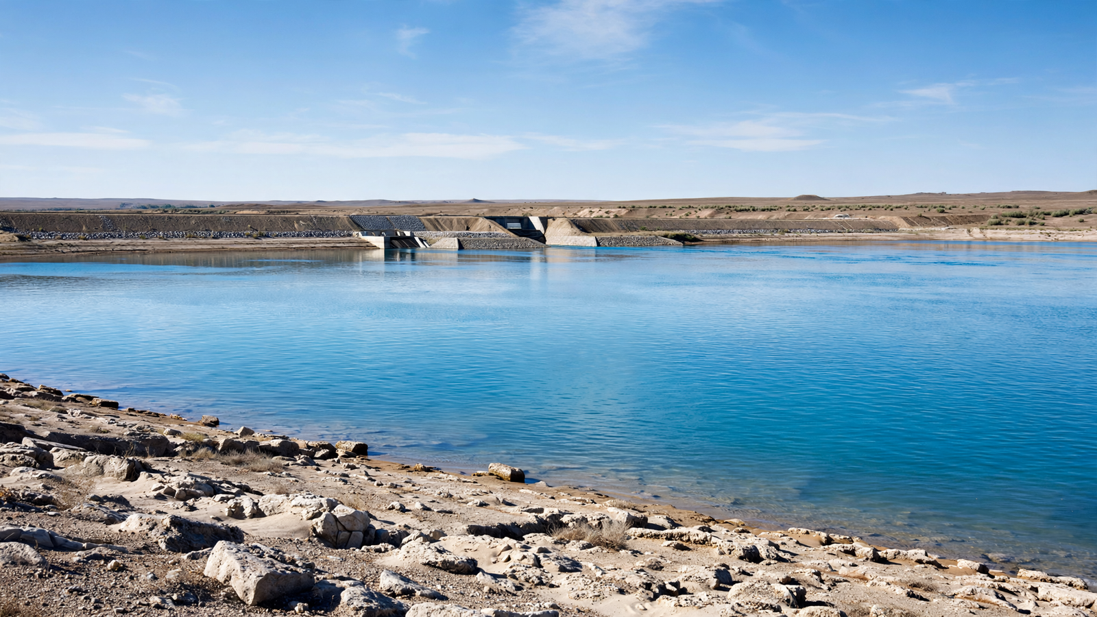
That division made a targeted recovery possible. Rather than trying to refill the entire former lake, a project supported by Kazakhstan and the World Bank concentrated on the North Aral. Its central structure was the Kok-Aral Dam, completed in 2005 across the narrow Berg Strait.
The dam’s purpose was straightforward: hold more of the Syr Darya’s water in the northern basin instead of allowing it to drain into the lower, more rapidly shrinking sections. The project also included repairs and improvements to river channels, irrigation structures and flood-control systems. Together, those measures helped make the available water more useful.
What changed after the dam
Satellite images recorded a visible transformation. The North Aral became deeper and more compact, with its shoreline moving closer to communities that had once been separated from the water by miles of exposed lakebed. NASA’s Earth Observatory has used the region as a striking example of how infrastructure and water management can alter a landscape within a relatively short period.
The changes were not merely visual. As the northern basin retained more freshwater, its salinity declined. That created better conditions for fish and aquatic life, while the Syr Darya delta and nearby wetlands regained some of their ecological function.
Fishing, once nearly impossible in the northern communities, began to return. Reports from the World Bank and other organizations describe renewed fish catches, the reopening of processing activity and the revival of livelihoods in places such as Aral, a town that had watched its harbor retreat far beyond reach.
The recovery also helped separate two ideas that are often treated as identical: restoring a landscape and returning it to its exact former condition. The North Aral has not become the immense lake it was before large-scale irrigation. Its future still depends on rainfall, river flows, regional water decisions and continued maintenance. But a smaller, functioning lake can still support people and wildlife.
The ecological value of a smaller lake
Water does more than fill a basin. In the Aral region, it links rivers, wetlands, reed beds, fish nurseries, migratory birds and human settlements. When water levels fell, those connections were disrupted. The exposed lakebed also became a source of windblown dust and salt, adding another burden to communities living nearby.
By retaining water in the North Aral, the Kok-Aral project helped restore part of that chain. A healthier delta can slow the movement of sediment, provide habitat for birds and aquatic species, and offer a buffer against the harsh conditions of the surrounding desert.
Fish recovery was especially important because it offered a practical measure of improvement. A living fishery requires suitable water chemistry, access to spawning areas and enough stability for local businesses to plan ahead. The return of fishing therefore signaled more than a temporary rise in the waterline; it suggested that a damaged regional economy could once again be connected to a functioning ecosystem.
A recovery with clear limits
The North Aral is not a simple environmental success story. The wider Aral Sea remains severely diminished, and the southern portions have continued to face intense water stress. Irrigated agriculture still shapes decisions across Central Asia, where several countries depend on the same rivers for farms, towns and industry.
Even in the north, the dam cannot create water that does not exist. It can help manage river flows, but drought and competing demands can still reduce the lake’s level. Later proposals have explored improvements to the Kok-Aral structure and additional measures to increase the North Aral’s capacity, but long-term gains require cooperation across borders.
Those limits make the recovery more instructive, not less. It demonstrates that environmental repair does not always begin with a grand restoration of everything that was lost. Sometimes it begins by identifying a manageable part of a damaged system, protecting it, and building institutions capable of maintaining the result.
What the North Aral teaches
The Aral Sea became famous as a warning about the consequences of treating rivers as limitless supplies. The North Aral adds another chapter: ecosystems can respond when water is deliberately returned and managed with a clear goal.
Its lesson is modest but powerful. Recovery may not erase the past, and it may not reach every part of a damaged landscape. But a smaller lake can still become a working lake. A stranded port can reconnect with water. A fishery can reappear. And a place once described only through loss can begin to be known for what careful stewardship made possible.