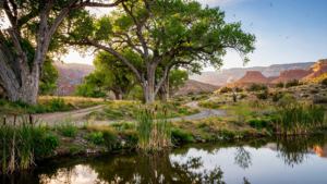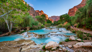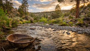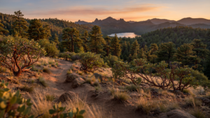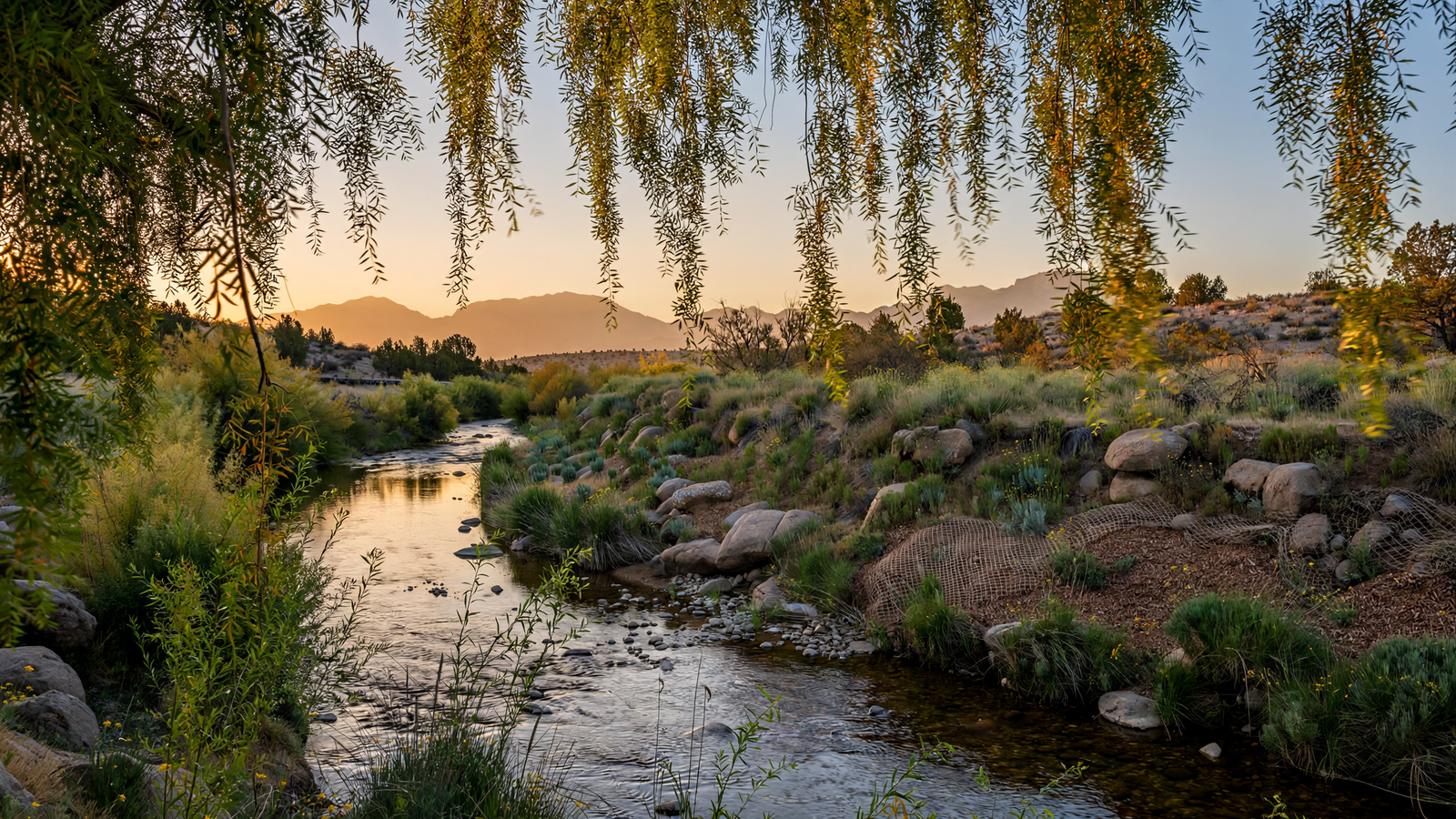
On a map, Watson Woods can look like a narrow green interruption between Prescott’s roads, neighborhoods, and recreation areas. On the ground, it feels more consequential: a cool corridor of cottonwoods and willows, threaded by Granite Creek and used by birds, wildlife, walkers, students, and volunteers. For related reading, see Acker Park: The Prescott Preserve That Makes Room for a Wilder Kind of City Life.
The preserve is one of the clearest examples in Yavapai County of what can happen when a community treats a creek as more than a drainage channel. Watson Woods is a restored riparian reserve on the southern edge of Prescott, near Watson Lake. Its importance is not based on a single spectacular viewpoint or one historic building. It comes from the quieter work of protecting soil, water, shade, and habitat in a high-desert city. For related reading, see Watson Woods: How a Prescott Creek Became a Living Room for Wildlife and Neighbors.
That work remains active. Prescott Creeks, the nonprofit organization associated with the reserve, continues to frame the site as a place for restoration, education, and public access. The result is a landscape that is both practical and generous: it helps manage stormwater and erosion while offering people a place to notice how much life can gather around a dependable ribbon of water. For related reading, see Granite Creek Corridor: How Prescott Is Making Room for Water, Wildlife, and Daily Life.
A creek corridor in a dry landscape
Prescott sits at roughly 5,300 feet in Arizona’s central highlands, where the climate is cooler than the low desert but still marked by long dry periods, intense sun, and seasonal storms. In that setting, riparian vegetation has an outsized role. Trees and shrubs beside a creek can create conditions dramatically different from the surrounding uplands.
Granite Creek is an intermittent waterway rather than a broad, continuously flowing river. Its channels and floodplain respond to winter precipitation, summer monsoon storms, runoff, and the condition of the surrounding watershed. When water moves through the corridor, vegetation can slow it, roots can help hold banks in place, and floodplain soils can absorb some of the force.
When the creek is quiet, the corridor still performs ecological work. Cottonwoods, willows, grasses, and other riparian plants provide cover and food. Their shade moderates the ground beneath them. Fallen branches and leaf litter create additional habitat. For a region where water is often scarce and scattered, even a modest creek can become a chain of connected places for wildlife.
Watson Woods makes those functions visible within a city. Visitors do not have to travel deep into a national forest to see the difference between exposed upland and a functioning riparian area. A short walk can move from open, sunlit terrain into a corridor where the temperature, sound, and density of vegetation change.
Restoration as a long project
The preserve’s story is not one of wilderness left untouched. It is a story of repair. Like many waterways near growing communities, Granite Creek has been affected by roads, altered drainage, invasive plants, erosion, and past land uses. Restoring a riparian corridor means addressing those pressures over time rather than expecting one construction project to solve them permanently.
Prescott Creeks describes Watson Woods as a 160-acre riparian reserve established to protect and restore habitat along Granite Creek. The organization’s work includes habitat restoration, environmental education, stewardship, and efforts to improve public understanding of local watersheds.
That combination matters. A preserve cannot remain healthy through fencing alone. Invasive vegetation may need to be removed. Native trees and shrubs may need help becoming established. Trails and viewing areas must be designed so that people can experience the landscape without turning every sensitive area into a shortcut. Flood events can reshape banks, while drought and wildfire can place additional stress on trees.
Restoration therefore looks less like a finished garden and more like ongoing maintenance of a living system. Some changes are easy to see, such as newly planted vegetation or a repaired trail. Others happen slowly underground, as roots stabilize soil and organic matter accumulates in the floodplain.
Why the reserve matters to birds and other wildlife
Riparian corridors are among the most valuable habitats in the arid West because they connect otherwise separated ecological areas. Birds can use the vegetation as shelter during migration or as nesting habitat. Mammals and reptiles can follow the corridor in search of water, cover, or food. Insects gather around flowering plants and moist ground, adding another layer to the food web.
Watson Woods is especially meaningful because it sits within an urban and recreational landscape. The preserve is close to Watson Lake, city roads, and developed areas, yet its vegetation gives wildlife a relatively continuous route through a fragmented environment. That does not make the site immune to disturbance. Dogs, noise, litter, off-trail travel, invasive species, and changing water conditions can all affect habitat. But a protected corridor is still more useful than a completely hardened channel or a series of isolated patches.
The City of Prescott identifies the Watson Lake area as a major outdoor recreation destination, with trails and access to the distinctive granite landscape surrounding the reservoir. Watson Woods adds a different experience nearby. The attraction is not only the open view across water or the dramatic form of granite boulders. It is the close-up view of a place where shade, mud, roots, bird calls, and seasonal water all matter.
A public place that teaches without a classroom
One of the preserve’s strengths is its ability to make watershed science tangible. Signs, guided programs, volunteer work, and ordinary observation can turn broad environmental ideas into things people can see.
A visitor can notice that a tree-lined bank is less exposed than a bare one. They can see how a trail crosses a floodplain, or how a creek channel changes after a storm. They can watch the difference between a dry season and a wetter period. These observations make water management less abstract. They show that a watershed is not simply a pipe carrying runoff away; it is a network of soils, plants, channels, floodplains, and communities.
That educational role is particularly important in Yavapai County, where communities must balance growth, recreation, wildfire concerns, habitat protection, and limited water supplies. A small urban preserve cannot solve those issues on its own. It can, however, give residents a common place in which to understand them.
The site also demonstrates that conservation is not limited to remote public land. National forests and wilderness areas are essential, but everyday places near town can protect biodiversity and improve quality of life at the same time. A person who visits Watson Woods on a short walk is participating in a different kind of public-land experience—one based less on distance and more on attention.
The value of keeping a floodplain open
Development often treats floodplains as empty space waiting to be used. A reserve such as Watson Woods offers a different approach: leave room for water and vegetation to do work that would otherwise have to be replaced by concrete, engineered channels, or expensive repairs.
That does not mean natural areas eliminate flood risk. Extreme storms can overwhelm any local system, and floodplain management requires careful planning. But keeping portions of a creek corridor open can reduce pressure on downstream areas, protect soil, and preserve options for future water-management decisions.
The benefits are also social. Shade is a public amenity in a warming climate. A green corridor can make walking more comfortable and provide a nearby place for quiet recreation. The same trees that shelter a bird can make a short outing more pleasant for a family, a student, or an older resident.
A modest place with a large lesson
Watson Woods is not a substitute for watershed-scale conservation, and its health depends on conditions beyond its boundaries. Rainfall, upstream development, wildfire, invasive species, groundwater use, and regional land management all influence what happens along Granite Creek.
Its lesson is more practical than grand: restoration can begin with a place small enough for people to know. A creek does not need to be famous to be valuable. A floodplain does not need to be remote to support wildlife. A city does not need to choose between public access and ecological care when it plans thoughtfully.
For Prescott, Watson Woods is a piece of living infrastructure and a piece of civic life. Its trees filter the light, its creek marks the landscape’s dependence on water, and its trails invite people to slow down long enough to notice both. In a county defined by high desert, forested mountains, and fast-changing weather, that quiet green corridor is a durable reason for optimism: restoration is not merely a way to recover what was lost. It is a way to decide what a community wants to keep making room for.
Use: Primary source for the reserve’s history, size, restoration purpose, stewardship, and educational role.
Use: Background on the nonprofit’s watershed-restoration and community-stewardship work.
Use: Municipal information on the Watson Lake area, public access, recreation, and the surrounding landscape.
Use: Context on Arizona riparian habitat and the value of wildlife-viewing areas.
Prescott Creeks — Watson Woods Riparian Reserve — https://prescottcreeks.org/watson-woods-riparian-reserve/ — Primary source for the reserve’s history, size, restoration purpose, stewardship, and educational role.
Prescott Creeks — https://prescottcreeks.org/ — Background on the nonprofit’s watershed-restoration and community-stewardship work.
City of Prescott — Watson Lake Park — https://www.prescott-az.gov/recreation-area/watson-lake/ — Municipal information on the Watson Lake area, public access, recreation, and the surrounding landscape.
Arizona Game and Fish Department — Wildlife Viewing Areas — https://www.azgfd.com/wildlife/viewing/areas/ — Context on Arizona riparian habitat and the value of wildlife-viewing areas.