
October 19, 2026
The Map Before the Emergency: How Volunteers Add Missing Roads and Buildings
Humanitarian mapping volunteers trace roads and buildings from satellite imagery, helping create open map data that aid groups and communities…
Humanitarian mapping volunteers trace roads and buildings from satellite imagery, helping create open map data that aid groups and communities…
The metric system began as a French effort to replace a patchwork of local measures. Its evolution—from a proposed Earth-based…
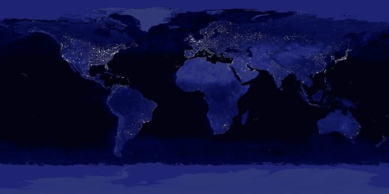
There is no single worldwide head count. The UN combines national censuses, surveys and other records to estimate how many…

A large woodcut map made in Europe gave a newly recognized landmass a name that endured. Its story is less…

A call number is more than a book’s address. Learn what its parts can tell you, how to follow it…

The 1950 U.S. census is now available to the public, offering a detailed snapshot of households and communities—while illustrating why…
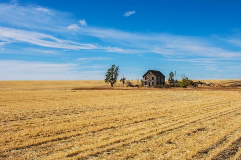
Signed in 1862, the Homestead Act offered a path to land ownership—but its requirements, and the meaning of “public land,”…
The Geographic Names Information System helps users identify and compare names for places and features across the United States. Its…

The U.S. emergency number began as a proposal for one memorable way to call for help. Its history shows how…

Ordered by William the Conqueror and compiled in 1086, the Domesday survey turned land, ownership and resources into a record…
A book’s ISBN is more than a barcode: it is a standardized identifier that helps publishers, booksellers, libraries and readers…

A broken slab bearing one decree in three scripts gave scholars a crucial way into ancient Egyptian writing—and the key…

The International Classification of Diseases gives health systems a shared way to describe conditions and record causes of death—while leaving…
A letter, a symbol or an emoji can look simple on screen. Behind it is a shared system that helps…
The World Register of Marine Species is more than a searchable list. Its expert-maintained records help researchers connect ocean-life data…

A worldwide network of museums, research institutions and community science projects shares biodiversity observations through GBIF, giving researchers a way…
A country-by-country resource from the International Federation of Library Associations and Institutions brings library statistics and community stories into one…

The Directory of Open Access Journals began as a way to make scholarly research easier to find. Its lasting value…

The World Heritage List is more than a catalogue of famous places. It connects sites around the world through shared…
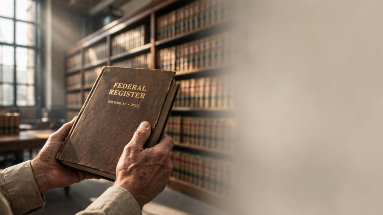
A 1935 law created a shared public record for U.S. government rules, notices and presidential documents. The Federal Register still…