Prescott is often introduced through its historic courthouse square, its granite formations, or the pine-covered ridges that rise around town. But the larger story of the landscape begins beyond the city limits, where the Prescott National Forest gathers forests, grasslands, canyons, reservoirs, and high-desert watersheds into one connected public place.
The forest is not a single, untouched wilderness. It is a working landscape shaped by fire, drought, recreation, grazing, restoration, wildlife management, and the daily needs of nearby communities. Its value comes partly from that complexity. The same public lands can offer a hiking route, protect a watershed, support wildlife, provide habitat for old-growth trees, and give a growing region room to breathe.
A forest built around a changing landscape
The Prescott National Forest covers roughly 1.25 million acres across west-central Arizona, according to the U.S. Forest Service. Its boundaries stretch well beyond Prescott and include portions of Yavapai, Gila, and Coconino counties. The forest is organized into ranger districts, each responsible for managing a landscape with its own combination of forests, mountains, desert vegetation, waterways, and communities.
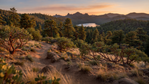
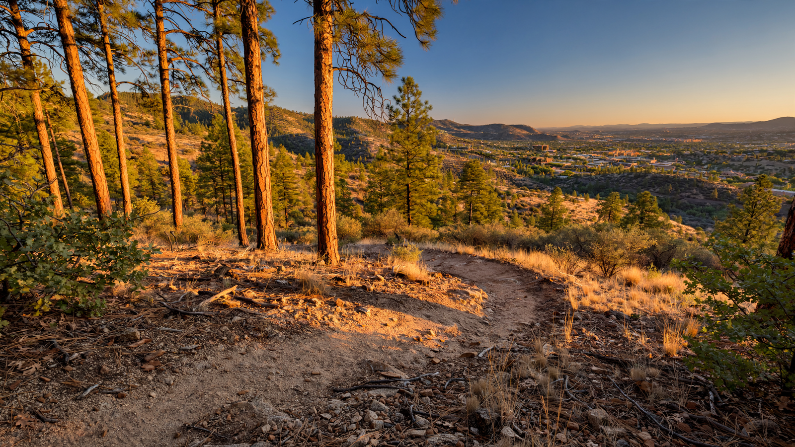
That range is visible in a single drive. Ponderosa pine stands occupy cooler elevations, while juniper, oak, pinyon, chaparral, and desert grasses appear across warmer and drier ground. Elevation, slope, soil, and exposure create a patchwork rather than a uniform forest. In some places, visitors encounter tall trees and shaded trails. In others, the terrain opens into rocky hillsides or broad grassland with distant views.
This variety is one reason the national forest functions as more than a recreational destination. Different habitats support different plants and animals, while connected public lands allow species to move through the region as conditions change. The forest’s canyons and drainages also link upland areas to the Verde River watershed and other downstream systems.
Public land with a long human history
National forests are sometimes imagined as landscapes that began when the federal government drew their boundaries. The land around Prescott has a much older human history. Indigenous peoples have lived in and traveled through the region for centuries, developing knowledge of its water sources, plants, animals, and seasonal patterns. Later, mining, ranching, logging, roads, and settlement reshaped the landscape again. For related reading, see Agua Fria National Monument: How a High Desert Plateau Keeps Yavapai County’s Deep History in View.
The Prescott Forest Reserve was established in the early twentieth century, part of a national effort to protect watersheds and manage forest resources. Like other national forests, it was created not simply to lock land away but to keep it available for a combination of public purposes. That history helps explain why the forest today includes recreation areas alongside grazing allotments, timber management, roads, utility corridors, habitat projects, and protected cultural resources.
Prescott’s relationship with the forest also reflects the city’s location. The community grew in a landscape where water, trees, minerals, and transportation routes all mattered. As the region developed, the surrounding public lands remained a large, continuous space near town. That proximity made the forest part of everyday life rather than a distant destination visited only on special trips.
Trails that turn geography into daily life
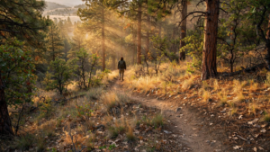
For many people, the forest is first encountered on foot. Trails make the region’s complicated geography legible. A route through pine woodland reveals changes in shade, soil, and vegetation. A climb toward a ridge shows how quickly elevation alters the view. A path beside a seasonal drainage makes clear how water, even when invisible, has shaped the land.
The Forest Service manages a large network of roads and trails for hiking, horseback riding, mountain biking, scenic travel, and other forms of outdoor use. Some routes are easy to reach from Prescott, while others lead into more remote portions of the forest. The range of settings allows the same public landscape to serve a family taking a short walk, a rider crossing several miles of backcountry, or a visitor looking for a quiet place to observe birds and changing weather.
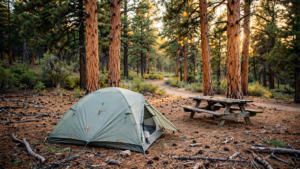
That accessibility is a civic resource, but it also creates pressure. Popular trails can experience erosion, compacted soil, litter, unauthorized camping, and conflicts among different kinds of users. Seasonal closures may be necessary during extreme fire danger, severe weather, construction, or restoration work. Responsible recreation—staying on designated routes, packing out waste, controlling pets, and following fire restrictions—helps keep access possible over time.
Water is part of the forest’s hidden architecture
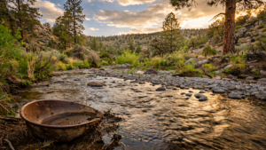
In a dry region, the forest’s importance cannot be measured only by the amount of visible water. Its slopes, soils, vegetation, and drainage networks influence how rain and snow move across the landscape. Forested watersheds can slow runoff, reduce erosion, and help maintain streams and reservoirs, although drought, wildfire, invasive species, and intense storms can disrupt those functions. For related reading, see Chiricahua National Monument: Arizona’s Stone Forest Where Desert Turns Vertical.
The Prescott area’s reservoirs and creeks are familiar public features, but they are connected to a much larger watershed story. Water that falls on forested uplands can travel through washes and tributaries before reaching larger river systems. Protecting those headwaters requires attention to the entire landscape, including vegetation health, road drainage, fire effects, and development near waterways.
That connection is especially important as Arizona communities confront hotter temperatures and longer periods of drought. A healthy watershed does not eliminate water scarcity, but it can make the landscape more resilient. Forest management, stream restoration, erosion control, and careful recreation planning all contribute to the basic work of keeping water moving through the region with less damage.
Fire makes stewardship unavoidable
Fire has always been part of many southwestern ecosystems. Historically, frequent low-intensity fires helped shape open forests and grasslands. A century of fire exclusion, combined with drought, past land use, and a warming climate, has allowed some areas to become unusually dense. When fire eventually arrives under hot, dry, and windy conditions, it can burn with greater intensity and threaten communities, wildlife habitat, soils, and watersheds.
The Forest Service and its partners use several tools to reduce those risks, including prescribed fire, thinning, mechanical treatments, road improvements, and public education. None is a universal solution. Treatments must be adapted to forest type, terrain, wildlife needs, cultural resources, and the proximity of homes and infrastructure.
For residents and visitors, the practical message is straightforward: a forest that looks green and peaceful can still be highly vulnerable. Fire restrictions, campfire rules, seasonal closures, and evacuation information are not abstract regulations. They are part of the shared system that allows people to live beside and enjoy a fire-adapted landscape.
A home for wildlife and resilient plants
The forest’s patchwork of habitats supports a wide range of species. Ponderosa pine and mixed-conifer areas provide nesting and cover, while oak woodlands produce food for wildlife. Chaparral, grasslands, riparian corridors, and rocky slopes add still more ecological variety. Black bears, mule deer, mountain lions, elk, birds of prey, songbirds, reptiles, and smaller mammals use different parts of this mosaic. For related reading, see Prescott’s Reclaimed Water Network: The Quiet Infrastructure Behind a High-Desert City.
Wildlife does not recognize administrative boundaries. Animals move between national forest land, private property, state lands, and other public areas. That makes cooperation essential. Habitat connectivity, careful road design, seasonal awareness, and protection of water sources can matter as much as the condition of any single trail or recreation site.
The forest also shows why restoration is not the same as returning a place to an imagined past. Managers are working in a landscape affected by historic fires, drought, insects, invasive plants, climate change, and decades of human decisions. The goal is often to improve resilience: to create more varied forest structure, reduce extreme fire behavior, protect soils, and give native species better chances under changing conditions.
A shared place rather than a single attraction
Prescott National Forest does not depend on one landmark to justify its importance. Its meaning accumulates across ordinary experiences: a shaded picnic, a long view from a ridge, a creek crossing after a storm, a working cattle allotment, a prescribed burn seen from a safe distance, or a trail used repeatedly through the seasons.
That ordinariness is part of its strength. The forest gives Prescott a broad public edge, a place where the city meets larger ecological systems. It offers room for recreation, but also room for habitat, water, research, management, and quiet. Its future will require balancing those uses rather than choosing one permanent identity.
In a region where growth and climate pressure are reshaping everyday life, the Prescott National Forest remains a valuable piece of public infrastructure. It stores ecological memory in its trees and soils, carries water through its drainages, and gives people a direct relationship with the high desert. The forest is not simply scenery surrounding Prescott. It is one of the places that helps make the community possible.
Use: Primary source for the forest’s acreage, management role, recreation resources, districts, stewardship, and general landscape information.
Use: Background on the national forest and its public-land management responsibilities.
Use: Context for the purpose and multiple-use framework of national forests.
Use: Context for wildfire risk, prescribed fire, fuels management, and fire stewardship on federal forest lands.
Use: Watershed context for the relationship between upland landscapes, streams, and the Verde River system.