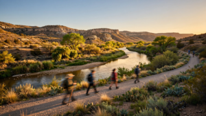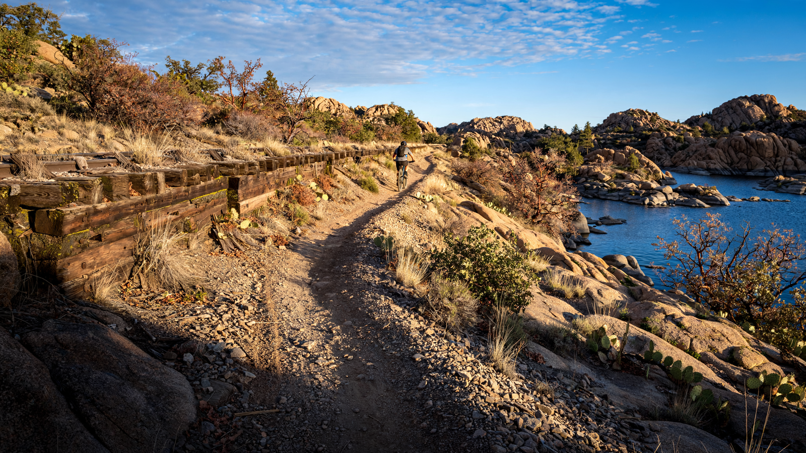
On Prescott’s north side, a broad trail follows a line that once carried trains through the high desert. Today, the Peavine National Recreation Trail is quieter than the railroad it replaced, but it remains a place of movement: walkers head toward the Granite Dells, cyclists follow the long, gentle grade, and horseback riders travel through a landscape shaped by granite, water and open sky.
The trail’s appeal is not only that it is scenic. It is also legible. A former transportation corridor has become public space without losing the evidence of its earlier purpose. The relatively even route, the surrounding rock formations and the connection to Watson Lake make the Peavine one of the clearest examples in Yavapai County of how an older piece of infrastructure can acquire a new civic life.
A railroad line with a second life
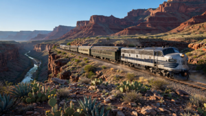
The Peavine follows the former bed of the Santa Fe, Prescott and Phoenix Railway, a regional line associated with Prescott’s connection to Arizona’s larger railroad network. The grade was engineered for trains rather than hikers, which helps explain the trail’s approachable profile: it does not climb and descend like a mountain path, but moves across the landscape with the steady rhythm of a railway.
That history is easy to miss if the trail is treated simply as a recreation route. The railroad grade is now covered by the ordinary textures of a modern trail—packed surface, bicycle tracks, hoofprints and footprints—but its alignment still tells a story about how communities once organized travel. Rail lines needed practical routes through difficult terrain. The same decisions that helped trains cross the edge of Prescott now give people a measured way into the Granite Dells.
In this sense, the Peavine is part trail and part surviving map. It preserves a corridor that could have disappeared into private parcels, roads or development. Instead, the route remains available for public use, allowing a piece of transportation history to be experienced at walking speed.
Where granite changes the view
The trail’s setting is the Granite Dells, one of Prescott’s most distinctive landscapes. Huge rounded boulders and weathered granite formations rise from the terrain, giving the route a visual character that is different from the pine forests associated with other parts of the Prescott area. The rocks are not a backdrop placed behind the trail; they are the landscape through which the trail is threaded.
That setting creates a useful contrast. The old railroad grade is comparatively smooth and directional, while the granite is irregular, fractured and sculptural. The trail provides a line through a place that might otherwise feel difficult to read. From the route, visitors can see how water, weather and time have shaped the exposed rock, while the path itself demonstrates how people have learned to move through it.
The combination also makes the Peavine accessible to more than one kind of visitor. A person can come for a short walk, ride a bicycle for a longer outing, pause to photograph the formations or use the route as a connection to other recreational areas. The trail does not demand a single pace or a single reason for being there.
A shared route beside Watson Lake
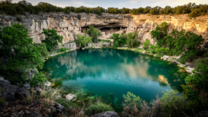
One of the Peavine’s defining features is its relationship with Watson Lake. The trail travels through the Granite Dells and along portions of the lake area, linking a linear route with a landscape of water and shoreline. That connection broadens the experience: visitors can move from a former railroad corridor into a place where reflections, birdlife and changing water levels alter the view from season to season.
Watson Lake also helps explain why this part of Prescott has become such a popular public landscape. The lake, the granite formations and the trail are not isolated attractions. Together, they form a network of places where people can spend time outdoors without leaving the city’s immediate orbit. The result is more valuable than any single viewpoint. It is a landscape that supports a morning walk, a family outing, a training ride, a horseback trip or a quiet stop beside the water.
Prescott’s official recreation information identifies the Peavine as a multiuse trail, and that designation is important. Shared trails require people to notice one another and adjust their pace. Walkers, cyclists and equestrians do not experience the route in exactly the same way, but the trail gives them a common setting. Its success depends on courtesy as much as on construction.
The value of a trail that does not need to be extreme
Many celebrated outdoor routes are defined by difficulty: steep grades, technical terrain or long distances. The Peavine offers another model. Its former railroad alignment makes it a place where the landscape can be the challenge—or the pleasure—rather than the route itself.
That distinction matters for a community. A trail with a manageable grade can invite people who are not looking for an expedition. It can be used in small portions and revisited often. It can serve as an everyday outdoor room rather than a once-a-year destination. The presence of bicycles and horses alongside pedestrians also allows different forms of recreation to share the same public investment.
The trail’s character changes with the weather and the hour. Morning light can sharpen the outlines of the granite. Afternoon heat can make the exposed sections feel more open. After rain, the rocks and lake may take on a different color, while cooler seasons can make the broad route especially comfortable for walking. Because the path is close to Prescott, visitors can return often enough to notice those changes instead of seeing the landscape only once.
Reading the corridor as local history
There is a temptation to divide places into “natural” landscapes and “historic” ones. The Peavine resists that division. Its views are shaped by geology, but its route is shaped by engineering. Its public use is modern, but its physical form comes from an earlier transportation system. The trail is therefore a layered place: granite and rails, lake and roadbed, recreation and memory.
That layering gives the route a quiet educational value. A visitor does not need a museum exhibit to understand that the land once carried a different kind of traffic. The straightness of the grade and its position through the terrain provide clues. The trail invites people to ask what the corridor was built for, why it followed this route and what happens when a community chooses to preserve an old right of way for new purposes.
Across the United States, former rail corridors have become trails because their grades, continuity and connection to communities make them unusually adaptable. The Peavine shows how that national idea can take on a distinctly local identity. Here, the former line is not merely a convenient surface. It is a route through one of Prescott’s signature environments.
A public place built from connection
The Peavine’s greatest contribution may be its connective role. It brings together a historic corridor, the Granite Dells, Watson Lake and Prescott’s broader trail system. It also connects different ways of paying attention. Some visitors focus on the rocks; others watch the water, study birds, exercise, ride or simply move through the landscape with no particular destination.
That flexibility is a mark of a successful public place. The trail does not need to be spectacular at every moment. Its strength comes from allowing the surrounding landscape to remain present while people use the route in ordinary ways. A former railroad grade becomes a place to meet a friend, introduce a child to a longer walk, practice trail etiquette or pause to consider how a city’s past can remain useful.
In Yavapai County, where history and open space are often discussed as separate attractions, the Peavine offers a more integrated story. It is a historic route that still works as a route. It is a recreational trail that carries evidence of industry and transportation. And it is a public landscape where Prescott’s granite country can be reached not only as a view, but as a shared experience.
Before you go
- The Peavine is a multiuse trail. Visitors should expect to share the route with pedestrians, cyclists and equestrians.
- Conditions can vary with heat, storms and seasonal weather. Bring water and plan according to the day’s conditions.
- Stay on designated routes, give other users room and follow current guidance from the City of Prescott and Prescott National Forest.
- Check official trail information before visiting for access details, closures and current conditions.