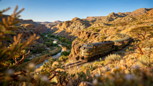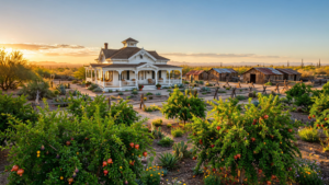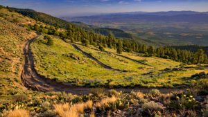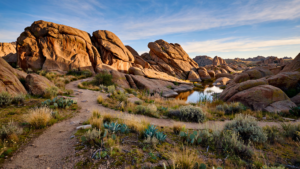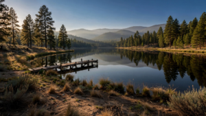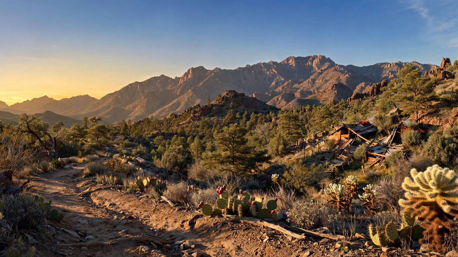
South of Prescott, the Bradshaw Mountains rise in a long, folded band of ridges, canyons, and forested slopes. From a distance, they can look like a single wall of stone. Up close, they become something more complicated: a landscape shaped by ancient geology, Indigenous presence, mining, grazing, wildfire, recreation, and the quiet work of water moving downhill.
That variety is what makes the Bradshaws one of Yavapai County’s most useful places to understand. They are not a single park with one entrance or one signature overlook. Much of the range lies within the Prescott National Forest, where roads, trails, campgrounds, wilderness areas, streams, and working landscapes share the same broad mountain system.
The result is a place that rewards both short visits and repeated exploration. A traveler may come looking for a forest drive and find an old mining settlement. A hiker may start among juniper and chaparral, enter ponderosa pine, and cross a slope recently reshaped by fire. A community may depend on the mountains not only for recreation, but also for clean water, wildlife habitat, and open space.
A mountain range built in layers
The Bradshaw Mountains are part of the larger upland country surrounding Prescott. Their geology is visibly varied. Granite outcrops, volcanic rock, weathered slopes, and narrow drainages create the sharp changes in scenery that are common across central Arizona.
Those rocks are more than background scenery. Faults and fractures helped shape the valleys and canyons, while mineralized zones drew prospectors and mining companies to the region. The landscape’s steep terrain and limited water made transportation difficult, but the same ruggedness preserved pockets of forest and kept many drainages relatively remote.
The range also sits within a major ecological transition zone. Lower elevations tend toward Sonoran Desert grassland, scrub, and juniper woodland. Higher slopes support oak, pinyon, and ponderosa pine. In between are shaded ravines where moisture can persist after the surrounding ground has dried. Elevation, aspect, soil, and fire history can change the character of a hillside within a short distance. For related reading, see The Verde River Greenway: How a Yavapai County Riverfront Became a Shared Landscape.
That is why a trip through the Bradshaws rarely feels like a visit to one uniform habitat. The mountains are a meeting place between desert and forest, and their biodiversity is partly a result of that overlap.
Mining gave the range its human story
Mining became one of the defining forces in the Bradshaw Mountains after the arrival of large-scale American settlement in central Arizona. Gold and other minerals brought prospectors into steep country where roads were often seasonal and supplies had to be hauled over long distances.
Mining camps and settlements emerged around the workings. Places such as Crown King and Walker still carry the memory of that era, while roads and abandoned sites across the mountains hint at a much larger network that has faded from everyday view. Some communities survived by adapting to new economies; others became archaeological traces or names on a map.
The mining past is easy to romanticize, but the physical record is more complicated. Historic mines can contain open shafts, unstable structures, tailings, and contaminated water or soil. A weathered cabin or stone foundation may be historically interesting without being safe to enter or appropriate to explore. Visitors should treat abandoned workings as hazards and leave artifacts where they are.
The Bradshaws’ history also predates mining. Indigenous peoples have long lived in and traveled through central Arizona, maintaining relationships with the region’s water, plants, animals, and travel corridors. A complete history of the mountains therefore includes Native presence as well as the later mining and ranching stories that became prominent in written accounts.
Why the Prescott National Forest matters here
The Prescott National Forest manages a large portion of the Bradshaw landscape. The forest’s public mission is broader than recreation. It includes watershed protection, wildlife habitat, vegetation management, grazing, cultural-resource stewardship, and the reduction of risks associated with severe wildfire.
That combination explains why the Bradshaws do not look like a manicured city park. Roads may be rough, signs may be limited, and a popular trail can pass through land where other activities are also taking place. Forest management can include thinning, prescribed fire, road closures, habitat projects, and post-fire restoration. These actions may change how a familiar place looks, but they are part of keeping a large, fire-prone landscape functioning.
Water is one of the less visible reasons the mountains matter. Rain and snow that fall on higher slopes move through small creeks, springs, and underground pathways before joining larger watersheds. In a dry region, forested uplands act as natural storage and filtration systems. The Bradshaws cannot eliminate drought, but their soils, vegetation, and drainages influence how water enters the wider Verde River system. For related reading, see Prescott’s Courthouse Plaza: How a Territorial Square Became Yavapai County’s Shared Living Room.
The mountains also provide connected habitat in a county where development and roads are expanding around established communities. Black bears are not the only wildlife associated with the high country, but the range supports a broad mix of birds, mammals, reptiles, pollinators, and plants adapted to changing elevation. The most important habitat may not be a famous viewpoint. It may be an unremarkable drainage that allows animals to move between better-known places.
A public landscape with many ways in
There is no single “best” way to experience the Bradshaw Mountains. The range includes developed recreation sites, trail systems, scenic roads, dispersed camping areas, hunting country, equestrian routes, and remote backcountry. Some routes are suitable for a passenger car in good weather; others require high-clearance or four-wheel-drive vehicles and careful preparation.
That variety makes planning especially important. Forest roads can change quickly after storms, and a route that is passable in one season may be muddy, rocky, or blocked by fallen trees in another. Travelers should check the Prescott National Forest for current road conditions, closures, fire restrictions, and motor-vehicle rules before leaving. A current map is more reliable than assuming that a route shown online is open or easy.
Hikers should carry more water than they expect to need, even on cooler days. Shade can be intermittent, cell service is not universal, and distances on mountain roads are easy to underestimate. Summer monsoon storms can produce sudden flooding in narrow washes. In winter, higher elevations may bring ice or snow while lower trailheads remain dry and warm.
Camping also works best when visitors remember that a public forest is shared space. Keeping campsites small, securing food, following fire restrictions, and packing out trash protect both wildlife and the next visitor. In dry years, a careless campfire can affect communities far beyond the person who lit it.
Fire is part of the mountain’s future
Wildfire is not an unusual interruption in the Bradshaws; it is one of the forces that has shaped the range for centuries. Historically, frequent lower-intensity fires helped limit the buildup of vegetation in many forests. A long period of fire suppression, combined with drought, dense fuels, warmer conditions, and development near wildlands, has increased the possibility of larger and more severe fires in some areas. For related reading, see Sahuaro Ranch: How a Glendale Farm Became a Public Historic Landscape.
Fire does not affect every slope in the same way. Some burned areas regenerate with grasses and shrubs. Others see oak resprout or young pine return over time. Severe fire can damage soils, increase erosion, and alter streams for years. Recovery depends on elevation, rainfall, seed sources, grazing, post-fire weather, and the intensity of the burn.
For visitors, the practical lesson is simple: a familiar forest may be managed or changed for reasons that are not immediately obvious. A closure can protect public safety, allow restoration work, or give wildlife and vegetation time to recover. Respecting those limits is one of the easiest ways to support the long-term health of the mountains.
What the Bradshaws offer Yavapai County
The Bradshaw Mountains are sometimes described through their past: gold camps, wagon roads, and frontier settlements. Their more lasting importance may be in the way they connect past and present. Historic routes are now scenic drives. Former mining country is also wildlife habitat. A mountain stream can be both a recreational destination and part of a watershed that communities depend on downstream.
That layered identity gives the range its appeal. The Bradshaws do not need to be transformed into a single attraction to matter. Their value comes from remaining a large, varied public landscape where history, ecology, recreation, and working land overlap.
For anyone exploring Yavapai County, the best approach is to slow down and look for those connections. Read the geology in the rock. Notice where pine begins to replace desert vegetation. Treat old mining sites with caution. Check conditions before taking a forest road. And remember that the mountain scenery is supported by an entire system of watersheds, habitats, public decisions, and careful use.
That is the enduring lesson of the Bradshaws: a mountain range does not have to be untouched to be valuable. It can carry evidence of industry, endure fire and drought, welcome visitors, and still provide room for wildness.
Use: Forest boundaries, public-land uses, recreation planning, safety guidance, and current alerts.
Use: General information on developed recreation, trails, roads, camping, and visitor preparation.
Use: Road-access rules, designated routes, and the importance of checking current travel information.
Use: Background on Arizona geology, mineral resources, and the geological context of central Arizona mountain landscapes.
Use: Historical context for Arizona settlement, mining, and the development of communities in central Arizona.