Some trails are destinations. Others are routes people use to reach a destination. Prescott’s Circle Trail is both: a long, multi-use route around the city that turns the meeting place between neighborhoods, national forest and high-desert hills into an outdoor resource of its own.
The trail is commonly described as roughly 54 miles long. It is not a single straight ribbon of pavement or a remote wilderness track. Instead, it is a connected system of trail segments, roads and established routes that form a broad loop around Prescott. Hikers, mountain bikers, runners and equestrians can use portions of it without committing to a multi-day expedition.
That combination is the trail’s quiet strength. A person can experience the route as a short morning outing, a longer weekend ride or a series of gradually connected adventures. The complete loop gives the city a large-scale recreational identity, while its individual sections remain approachable.
A trail shaped by the landscape around Prescott
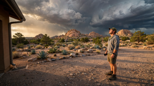
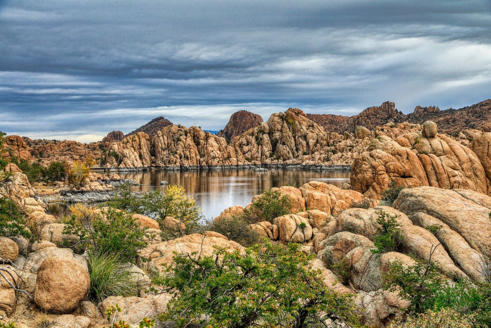
Prescott sits in a transition zone. The city is surrounded by the Prescott National Forest, but the landscape is not uniform. Ponderosa pine stands give way to chaparral, oak woodland, granite outcrops and open slopes. Elevation, shade and seasonal moisture can change noticeably over a relatively short distance.
The Circle Trail allows visitors to move through that variety without leaving the wider Prescott area. Its scenery is not a single postcard view repeated for miles. Depending on the section, the experience may include forest shade, broad mountain perspectives, exposed rock, dry grassland or glimpses back toward the city.
That variety also explains why the route should be approached as a collection of trail experiences rather than one uniform path. Surface, difficulty, shade and access can differ from one segment to the next. Conditions may change after storms, during periods of heat or when forest managers carry out maintenance and fire-related work. For related reading, see The Tucson Loop: How a Desert Trail Became Part of Everyday Life.
Why a loop matters
Long trails often tell a story from one point to another. A loop tells a different story: it makes the landscape feel connected. The Circle Trail gives residents and visitors a way to understand Prescott not only as a downtown and a set of neighborhoods, but as a community bordered by living, working landscapes.
For recreation, the loop offers flexibility. Someone with an hour can choose a nearby section. A family can look for a manageable outing rather than planning around the entire route. More experienced users can link longer sections together, using the trail system as a framework for a full day outside.
For the city, connected trails can also make outdoor access less dependent on a single famous overlook or heavily visited recreation site. A broad network distributes use across multiple access points. It creates more opportunities for people to find a route that fits their ability, schedule and preferred activity.
The trail’s value is therefore measured in more than mileage. It is a piece of public infrastructure that supports exercise, informal exploration, tourism and a direct relationship with the surrounding forest.
Not every mile feels the same
One of the most important details for anyone planning an outing is that the Prescott Circle Trail is a system, not a standardized paved greenway. Users should check the specific segment they intend to visit, including its surface, elevation changes, parking situation and permitted activities.
Some portions are shared by different kinds of trail users. Hikers may meet cyclists, horseback riders or other visitors traveling at a different speed. Courtesy matters: staying alert, communicating when passing and giving appropriate right of way help keep the route welcoming. For related reading, see Prescott National Forest: How a Working Forest Holds a High-Desert City Together.
Navigation is also part of the experience. A loop of this size can include junctions and connections with other trails. A current map, enough water and a realistic turnaround plan are more useful than assuming that every section will have frequent facilities or reliable cellphone service.
Prescott’s high elevation can make summer temperatures feel more manageable than those in lower desert cities, but heat remains a serious consideration. Shade is uneven, and exposed sections can become demanding. In colder months, snow, ice and muddy conditions may affect travel. Checking conditions before leaving is a simple way to make a recreational asset safer for everyone.
A closer relationship with the national forest
The Circle Trail’s setting demonstrates how urban recreation and public lands can complement one another. Prescott National Forest is not merely a distant backdrop. It is part of the daily geography of the community, providing habitat, watershed protection, open space and places for people to walk, ride and observe the changing seasons.
That relationship comes with responsibility. Visitors help protect the experience by staying on designated routes, keeping dogs under control where required, packing out waste and avoiding shortcuts that widen trails or damage vegetation. Fire restrictions should always be taken seriously, especially in a forest where dry conditions can change quickly.
Respect for wildlife is equally important. The forest is home to animals that may be difficult to see but are still affected by noise, dogs and off-trail travel. A good outing leaves the landscape looking much as it did before the visitor arrived.
The recreational value of ordinary access
There is a tendency to think of outdoor recreation in terms of dramatic destinations: a summit, a canyon, a waterfall or a remote backcountry route. The Circle Trail offers a different model. Its importance comes partly from being close enough to use repeatedly. For related reading, see The Peavine Trail: How Prescott Turned a Railroad Grade Into a High-Desert Commons.
A nearby trail can become part of a person’s routine. It can serve as a first introduction to hiking, a training route for a longer event, a place for a quiet walk after work or a familiar landscape that changes with rain, frost, wildflowers and autumn color. Those repeated encounters build a kind of local knowledge that a single visit cannot provide.
The route also invites people to explore at different speeds. A runner may measure it in miles. A cyclist may focus on connections and elevation. An equestrian may experience the same landscape more slowly. A hiker may stop to study granite, birds or the shape of the forest. Shared trails work best when they allow those different forms of attention to coexist.
How to plan a Circle Trail outing
- Choose a segment first. Do not treat the full loop description as a substitute for researching the particular section you plan to use.
- Check official conditions. The City of Prescott and Prescott National Forest provide current information about access, closures, regulations and trail conditions.
- Carry water and navigation tools. Even a short outing can take longer than expected, particularly on unfamiliar terrain.
- Prepare for changing weather. Wind, cold, heat and storms can affect exposed portions of the route quickly.
- Share the trail. Stay alert around other users, control pets as required and follow posted right-of-way guidance.
- Leave no trace. Remain on established routes, avoid disturbing wildlife and pack out everything brought in.
Before setting out, visitors should also confirm whether their chosen access point has parking restrictions, restrooms or seasonal limitations. Official information is especially important after storms, during fire season and when forest projects affect roads or trails.
A public landscape that keeps unfolding
The Prescott Circle Trail does not need to be conquered in one attempt. Its better invitation is to return: walk one section in spring, ride another in autumn, revisit a familiar overlook after a storm and gradually learn how the city’s surrounding landscape fits together.
That is what makes the route significant as an outdoors story. It is not only a line on a map or a mileage challenge. It is a practical connection between a community and the high-desert country that surrounds it. By making that connection visible and usable, the trail gives Prescott a large outdoor room—one that residents and visitors can enter through many different doors.
Use: Route overview, local access and the trail’s role as a multi-use loop around Prescott.
Use: Public-land context, recreation guidance, forest conditions and visitor-responsibility information.
Use: Statewide trail-planning context and guidance concerning trail recreation and responsible use.