Every day, the Earth changes in ways that are easy to miss from the ground. A reservoir shrinks by inches. A forest edge moves outward. A river builds a new sandbar, a city replaces fields with pavement, or a farm turns from green to brown under heat.
Since 1972, a group of American satellites has been watching those changes accumulate. The Landsat program does not produce the dramatic close-ups associated with astronauts or deep-space telescopes. Its work is quieter and more patient: returning to the same parts of the planet, measuring reflected and emitted energy, and building a record long enough for change to become visible.
That record is now one of the most important public collections of Earth observations ever assembled. Scientists use it to study forests, farms, wetlands, glaciers, wildfires, mines, cities, and coastlines. Governments use it to manage land and water. Researchers around the world use it because the images are available without charge.
A satellite program designed to watch the ground
The first Landsat satellite launched from California on July 23, 1972. At the time, it was called the Earth Resources Technology Satellite, or ERTS-1. Its purpose was different from that of weather satellites and reconnaissance spacecraft: it was designed to observe the land surface in enough detail to help people understand and manage natural resources.
The idea was straightforward but ambitious. A satellite would pass over the same areas repeatedly, recording several portions of the electromagnetic spectrum. Some of those wavelengths are visible to human eyes; others reveal information that ordinary photographs cannot. Vegetation, water, bare soil, snow, and built surfaces reflect energy in different ways. With the right instruments, a landscape could be measured rather than simply pictured.
That distinction made Landsat useful. A single image could show where fields were planted, but a sequence of images could show how crops developed. One image could map a forest, while decades of images could reveal gradual clearing, regrowth, or disturbance. The program’s greatest value was never one spectacular photograph. It was repetition. For related reading, see The James Webb Space Telescope: How an Infrared Eye Is Rewriting Our View of the Universe.
Five decades of continuity
Landsat’s history includes both steady progress and difficult gaps. Landsat 1 was followed by Landsat 2 in 1975 and Landsat 3 in 1978. Later spacecraft carried improved sensors, added thermal observations, and extended the archive across changing generations of technology.
Not every mission succeeded. Landsat 6 failed to reach orbit in 1993. Landsat 7 launched in 1999, and Landsat 8 followed in 2013 with two modern instruments: the Operational Land Imager and the Thermal Infrared Sensor. Landsat 9 launched on September 27, 2021, continuing the program alongside Landsat 8.
The partnership behind the program has also endured. NASA develops and launches the satellites, while the U.S. Geological Survey operates the spacecraft and manages the resulting land-imaging archive. That arrangement connects space engineering with a long-term public information service. The satellites gather the data, but the archive is what turns individual missions into a historical record.
With Landsat 8 and Landsat 9 working together, the same location can generally be observed every eight days, weather permitting. Each individual satellite has a longer repeat cycle, but their orbits are offset. Clouds can still hide the surface, and some regions are observed less clearly than others, yet the combined system offers a remarkably regular view.
What a Landsat image actually measures
Landsat images are often displayed as colorful maps, but the colors are not merely decorative. The instruments record how much energy reaches the sensors in different bands. Analysts can then combine those bands to emphasize vegetation, water, burn scars, moisture, or the heat emitted by the ground.
The modern Landsat instruments collect multispectral observations at a scale that can distinguish many fields, roads, ponds, and neighborhoods. Landsat 8 and 9 also include panchromatic bands that provide sharper black-and-white detail, along with thermal bands that help researchers study surface temperature. The data is not a substitute for a photograph taken from a nearby aircraft, and it cannot reveal every object on the ground. Its strength is consistent measurement across large areas.
That consistency is especially important when researchers compare images taken years apart. A sensor may change from one satellite generation to another, so scientists carefully calibrate and process the data. Once corrected, the images can be compared to detect trends rather than momentary differences caused by lighting, haze, or seasonal conditions. For related reading, see The International Space Station: How the World Built a Laboratory Above Earth.
A public archive with practical consequences
Landsat’s influence grew dramatically when the U.S. government made the archive freely available in 2008. Removing the cost of individual scenes changed who could use the program. Universities, local agencies, conservation groups, farmers, software developers, and researchers in countries with limited resources gained access to the same basic observations.
Free access also made it possible to work at scales that would have been impractical when satellite scenes were sold one at a time. A researcher can examine a single watershed, compare an entire state, or study patterns across decades without negotiating a separate purchase for every image.
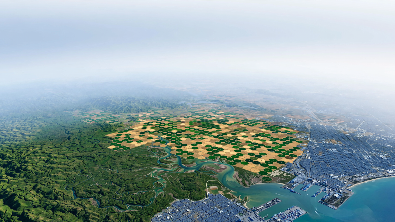
That openness has supported a wide range of work. Water managers can track the changing size of reservoirs and lakes. Agricultural analysts can monitor crop growth and estimate where irrigation is being used. Foresters can identify areas affected by logging, insects, drought, or fire and then follow recovery. Coastal researchers can measure changes in wetlands, shorelines, and sediment.
In cities, Landsat helps reveal the outward spread of development and the distribution of heat-absorbing surfaces. In the American West, long image sequences can place drought and wildfire in a broader landscape context. Around the world, the archive has helped map deforestation, glacier retreat, shifting rivers, and the expansion or contraction of wetlands.
The value of looking backward
Modern satellites can provide more detail than the earliest Landsat spacecraft, but newer images alone cannot recreate the past. The older scenes are valuable precisely because they were collected before many changes became obvious.
A satellite record can show that a forest did not disappear all at once, but receded in a series of smaller clearings. It can show that a lake’s decline was part of a long pattern rather than a single dry year. It can help distinguish a temporary burn from a lasting conversion of land. In each case, the archive adds time to the picture. For related reading, see Earth’s Quasi-Moon: The Tiny Wanderer That Keeps Pace With Our Planet.
This long view is also useful for evaluating restoration. If wetlands are replanted, a river is given more room, or a damaged landscape is allowed to recover, researchers need a baseline against which to measure results. Landsat cannot explain every cause, but it can document the physical pattern: where vegetation returned, where water spread, and how quickly the landscape changed.
Why the program still matters
Landsat is not the only system observing Earth. Commercial satellites can provide finer detail, and other government missions specialize in oceans, weather, radar, or atmospheric measurements. Landsat’s distinctive contribution is the combination of moderate resolution, global coverage, decades of continuity, and public access.
That combination creates a common reference point. A researcher studying a watershed in the United States and another studying farmland in Africa can work with data collected through the same broad system. A local government can examine its own landscape without depending entirely on a private provider. A student can download the same kind of imagery used in professional research and begin asking questions of a real place.
There are limits. Clouds can obscure the surface. A 30-meter pixel may contain several different land covers. An image can show that a field changed without explaining whether the cause was drought, a crop rotation, disease, or a management decision. Interpreting satellite data requires care, ground observations, and knowledge of local conditions.
But those limitations do not diminish the central achievement. Landsat made Earth observation a continuing civic resource rather than a one-time technological demonstration. Its satellites have turned change into something that can be revisited, compared, measured, and discussed.
More than half a century after the first launch, Landsat continues to do something deceptively simple: look again. In that repeated act, it has given the world a way to see slow change before it becomes invisible history—and a shared record for deciding what should happen next.
Use: Program history, mission roles, satellite continuity, and the Landsat archive.
Use: Public availability and access to Landsat imagery and products.
Use: Landsat 9 launch, instruments, and its role alongside Landsat 8.
Use: Sensor capabilities, spectral observations, and technical context for modern Landsat data.