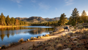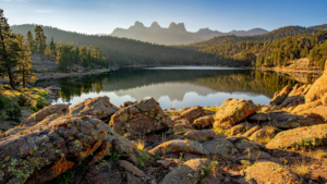
Prescott is often experienced in fragments: a granite overlook above Watson Lake, a pine forest trail beyond Thumb Butte, a quiet road climbing toward the Bradshaw Mountains. The Prescott Circle Trail offers another way to understand the city. Rather than leading to one famous destination, it gathers many of the landscapes around town into a single, long-distance route.
The loop is roughly 54 miles long, according to trail and public-land information from the Prescott National Forest and local trail organizations. It is not a paved urban greenway or a single, uniform path. It is a connected system of existing and improved trail segments that passes through high-desert country, ponderosa pine forest, open grassland, and the rocky terrain that gives Prescott its unmistakable shape.
That variety is part of the trail’s importance. The circle makes the city feel larger without requiring it to sprawl farther. It gives hikers, mountain bikers, runners, and equestrians a way to move through the landscape while remaining close to the communities and public spaces that surround Prescott.
A trail built from many kinds of ground
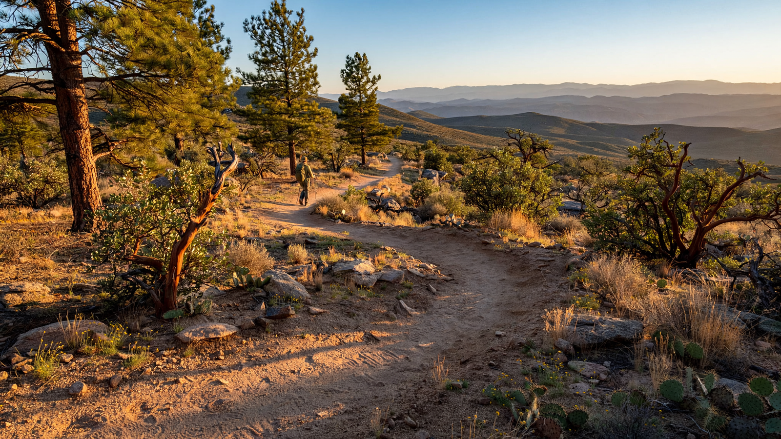
The Prescott Circle Trail does not behave like a traditional beginning-to-end hiking route. Its character changes as it moves around the city. Some sections pass through open, sunlit country. Others enter stands of ponderosa pine, where the air and temperature can shift within a short distance. In the Granite Dells, the trail environment becomes more sharply defined by weathered stone and narrow passages. Farther out, the route reaches the broad views and working-landscape feel of the Prescott Basin.
That mix reflects Prescott’s location at a meeting point between several Arizona environments. The city sits at about 5,300 feet in elevation, high enough for pine forests but still surrounded by the dry, rugged conditions of central Arizona. Rainfall arrives in both winter storms and the summer monsoon, and the result is a landscape that can look dramatically different from one season to the next.
A long loop makes those changes visible in a way that a short park trail cannot. A person walking one section may notice a single lake, rock formation, or stand of trees. Someone following the larger route begins to see how those places belong to one regional landscape.
Why a circle matters
Long-distance trails are often imagined as lines: a route from one town to another, or from a trailhead to a summit. A circle works differently. It has no required finish line, and it offers many possible starting points. That makes the Prescott Circle Trail useful to people with very different goals.
A visitor can use a short section for an afternoon outing. A local resident can return to familiar portions throughout the year. More experienced trail users can link sections into longer outings without treating the entire loop as a single expedition. The route’s value comes partly from that flexibility.
The loop also changes the relationship between Prescott and its surrounding public lands. Instead of seeing the city as a developed island surrounded by forest, trail users can experience a gradual transition between neighborhoods, recreation areas, conservation lands, and the Prescott National Forest. The trail becomes a kind of seam: a place where the built and natural parts of the region remain connected.
Public land as everyday infrastructure
Prescott’s trail system is sometimes discussed as an attraction, but it also functions as everyday infrastructure. Trails provide places to exercise, spend time outdoors, and move through a community without a car. They offer a low-cost form of recreation in a region where access to nature is one of the area’s defining qualities.
The Prescott Circle Trail adds another benefit: it helps distribute outdoor use. A single popular viewpoint can become crowded, while a network gives people more choices. That does not remove the need for careful management. A large route still requires maintenance, wayfinding, erosion control, seasonal awareness, and cooperation among the agencies and groups responsible for different sections.
The public-land setting also means that users share the route with wildlife and with people whose livelihoods depend on the surrounding landscape. Hikers may encounter equestrians, mountain bikers, utility corridors, grazing areas, or roads used to manage the forest. The trail is not a theme park separated from the working world. It is part of a living landscape, and responsible use matters.
The work behind a connected trail
A route such as the Prescott Circle Trail is easy to appreciate once it is mapped, but its existence depends on years of less visible work. Land managers must identify compatible corridors, maintain existing paths, address safety concerns, and make sure users can understand where one segment connects to the next.
In and around Prescott, that work involves the Prescott National Forest, the City of Prescott, Yavapai County, and local trail and open-space organizations. Different parts of the route can have different rules, surfaces, levels of difficulty, and maintenance schedules. The trail’s unity is therefore not created by a single piece of construction. It comes from coordination.
That kind of coordination is especially valuable in a growing mountain community. Prescott attracts residents and visitors partly because of its access to open space, yet growth can place pressure on the same landscapes that make the area appealing. Connected trail planning offers one way to protect access while guiding recreation toward routes that can be managed over time.
More than a scenic route
The strongest argument for the Prescott Circle Trail is not that it provides one perfect hike. It is that the route gives the region a shared outdoor framework.
For a family, that may mean choosing a short, approachable section near a familiar trailhead. For a visitor, it may mean seeing beyond the downtown square and discovering that Prescott’s identity extends into its forests and basin. For a longtime resident, it can provide a changing set of seasonal walks without leaving the broader community.
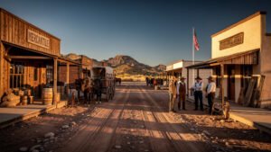
The route also tells a story about what a city chooses to preserve. Prescott’s most recognizable features are historic buildings, rodeo traditions, and rocky mountain scenery. The Circle Trail connects those cultural associations to a physical landscape that cannot be reduced to a single landmark. It shows that the city’s sense of place depends not only on what has been built, but also on what remains open.
Walking the larger Prescott
There is no single correct way to experience the Prescott Circle Trail. Some people will approach it as a collection of day hikes. Others will use it for exercise, training, or a longer backcountry outing. The route can be quiet and solitary in one section, then feel close to town in another.
Before heading out, users should check current maps and conditions, confirm the rules for the section they plan to visit, carry enough water, and prepare for rapid changes in weather and exposure. Summer heat, monsoon storms, winter snow, loose rock, and limited cell service can all affect a trip. The Forest Service and local trail organizations provide the most reliable guidance for current conditions and route information.
What the trail ultimately offers is a different scale of belonging. Prescott can be known as a downtown, a historic community, or a gateway to the forest. The Prescott Circle Trail holds those descriptions together. It gives a mountain town a way to move around itself—and, in doing so, makes the surrounding landscape part of daily civic life.